
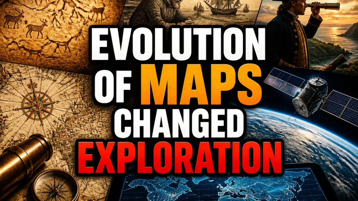
Maps are among humanity's most powerful tools. They don't just show us where things are; they shape how we think about the world and what we believe is possible. The history of mapmaking is a story of curiosity, error, and relentless revision, and it has fundamentally changed how humans have explored the planet.
From scratched lines on clay to satellite imagery on your phone, maps have always reflected both what we know and what we assume. They have guided explorers, sparked wars, and quietly reshaped entire cultures. Understanding how maps evolved helps us see that every map is a snapshot of its time, not a perfect mirror of reality.
TL;DR: The evolution of maps, from ancient Babylonian tablets to modern GPS, shows how each cartographic leap empowered explorers to push further and reshaped humanity's understanding of the world.
The Earliest Maps: Marking Territory and the Afterlife
The history of mapmaking begins long before paper. The oldest known map-like artifact is a Babylonian clay tablet from around 600 BCE, showing the world as a flat disk surrounded by a ring of ocean. But even older cave paintings and carved stones suggest that early humans were mapping hunting grounds and spiritual realms tens of thousands of years ago.
These early maps weren't used for navigation in the way we think of today. They served religious, administrative, and symbolic purposes, marking property lines, sacred sites, and cosmic order. Their makers likely weren't trying to represent physical geography accurately but rather to capture what mattered to their society.
One of the most famous early maps is the Turin Papyrus, an ancient Egyptian map drawn around 1150 BCE. It depicts a gold-mining region in the desert, complete with roads and geological features. This shows that even in antiquity, maps were practical tools for resource extraction and state planning, not just abstract art.
The Greeks and the Birth of Scientific Cartography
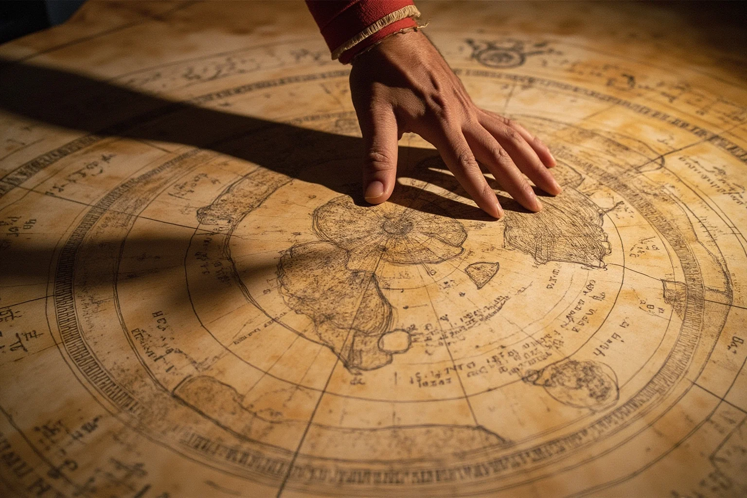
Around the 6th century BCE, Greek thinkers began to question the flat-earth assumptions of their neighbors. Anaximander is credited with creating one of the first world maps, depicting the known world as a circle surrounded by ocean. More importantly, he and his successors started using geometry and observation to improve accuracy.
Eratosthenes, a librarian in Alexandria around 240 BCE, achieved something remarkable: he calculated the Earth's circumference with surprising precision using shadows and simple trigonometry. His method, while based on some assumptions, was a major leap toward scientific cartography. He also created a map of the known world that introduced lines of latitude and longitude.
Ptolemy, working in the 2nd century CE, compiled all this knowledge into his Geography. His maps, though flawed in places, became the standard reference for over a thousand years. Ptolemy's work showed that maps could be systematic, mathematical, and reproducible, setting the stage for future exploration.
Medieval Maps: Faith, Myth, and Practicality
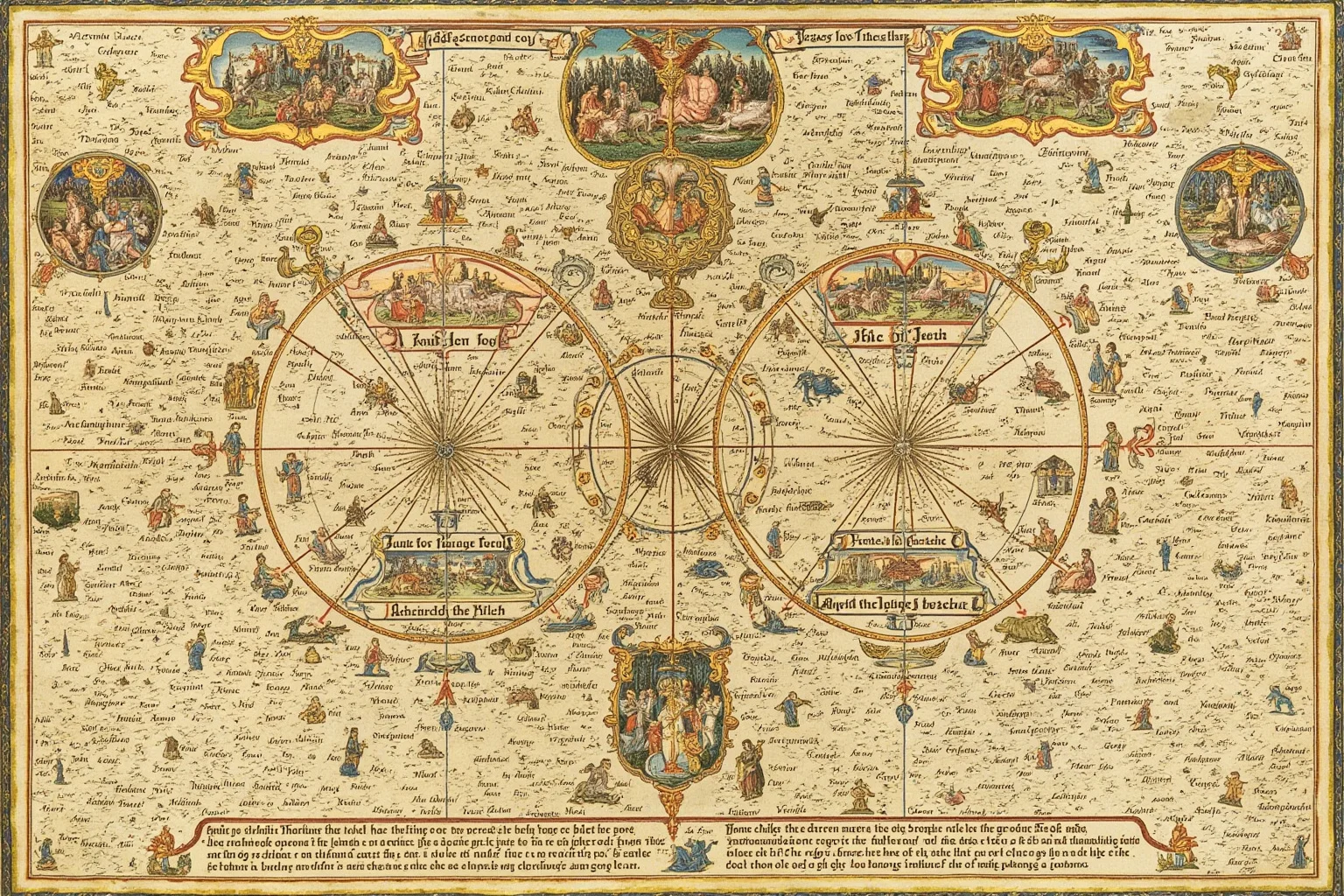
After the fall of Rome, European mapmaking diverged into several traditions. Many medieval maps, like the famous mappa mundi, placed Jerusalem at the center and mixed biblical stories with geography. These maps were less about navigation and more about conveying a worldview where faith and history were intertwined.
Yet not all medieval maps were symbolic. Portolan charts, developed in the 13th century by Mediterranean sailors, were highly accurate for coastal navigation. They used compass bearings and detailed shorelines, becoming essential tools for trade and exploration. These charts remind us that practical mapping continued alongside religious and symbolic traditions.
Islamic scholars also made major contributions during this period. Al-Idrisi, working in Sicily in the 12th century, created a world map that was remarkably detailed for its time. He drew on travelers' reports and his own knowledge to produce a map that remained influential for centuries. This cross-cultural exchange of mapping knowledge was vital for later European voyages.
The Age of Exploration: Maps as Tools of Empire
The 15th and 16th centuries saw a revolution in both exploration and cartography. Prince Henry the Navigator of Portugal sponsored voyages that pushed down the African coast, and each journey brought back new data for mapmakers. The portolan charts evolved into more detailed rutters and then into the first modern nautical charts.
Christopher Columbus's 1492 voyage and Vasco da Gama's route to India in 1498 shattered old assumptions. Suddenly, mapmakers had to incorporate entirely new continents and oceans. The result was a scramble to update Ptolemy's ancient framework, often leading to confusion and errors, like the persistent belief in a Northwest Passage.
This era also saw the rise of secretive mapmaking. Nations guarded their charts as state secrets because accurate maps meant military and commercial advantage. Explorers like Magellan and Drake relied on maps that were often intentionally misleading to throw off rivals. The evolution of maps of the world during this time was driven as much by politics and espionage as by science.
Gerardus Mercator and the Map That Shaped Navigation
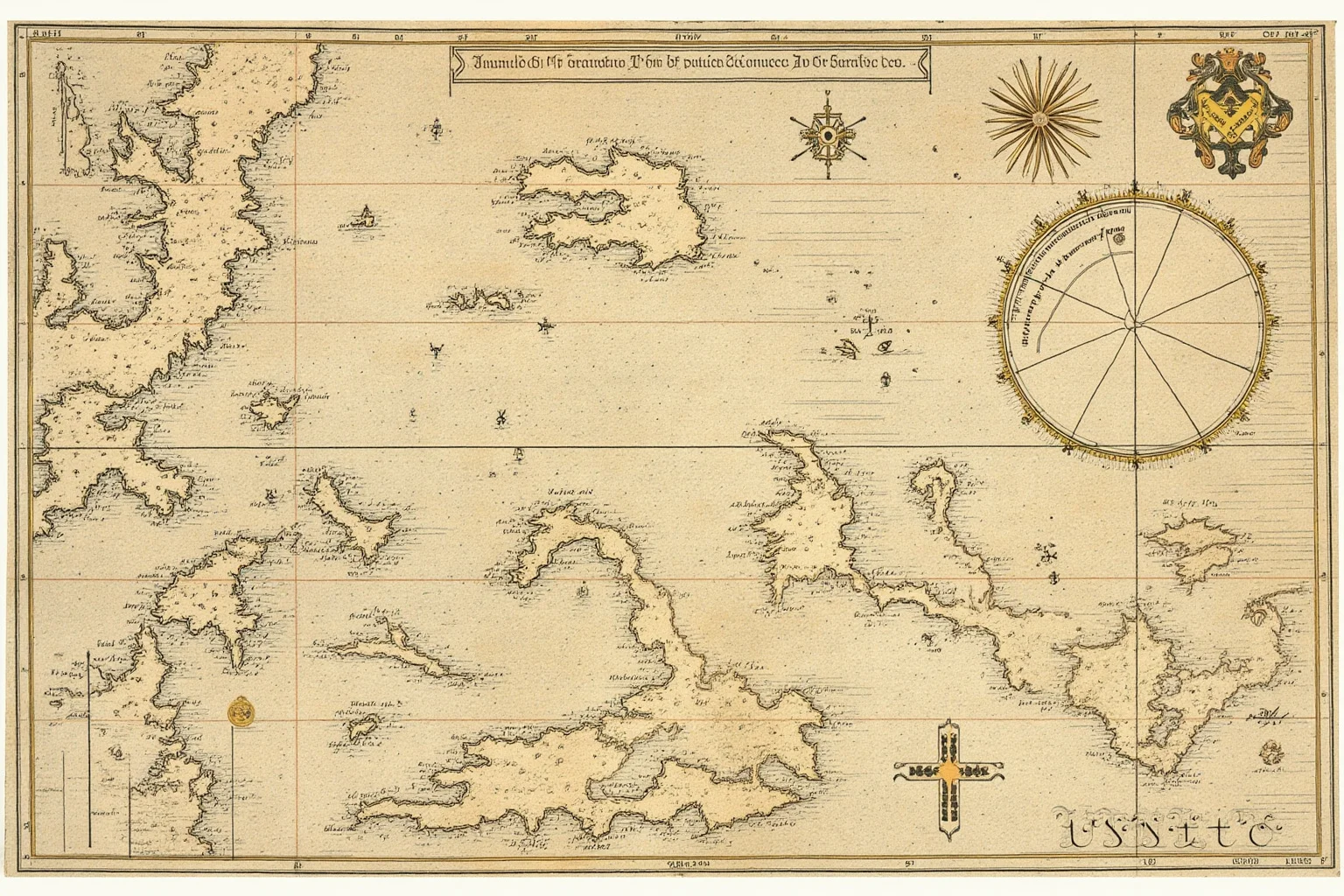
In 1569, Gerardus Mercator introduced a map projection that would dominate navigation for centuries. His projection preserved straight lines of constant compass bearing, called rhumb lines, making it invaluable for sailors. For the first time, a navigator could plot a straight course on a flat map and follow it accurately across the ocean.
However, Mercator's projection distorted size dramatically. Landmasses near the poles, like Greenland, appeared far larger than they are relative to equatorial regions. This distortion wasn't a mistake; it was a trade-off Mercator accepted for navigational utility. But it would later have cultural and political consequences, as we'll see.
Mercator's map became the standard for centuries, and his name is still synonymous with world maps. His work exemplifies how the evolution of maps often involves compromises between accuracy and usability. Every flat map distorts something, and choosing what to distort is both a scientific and a value-laden decision.
The Longitude Problem and the Quest for Precision
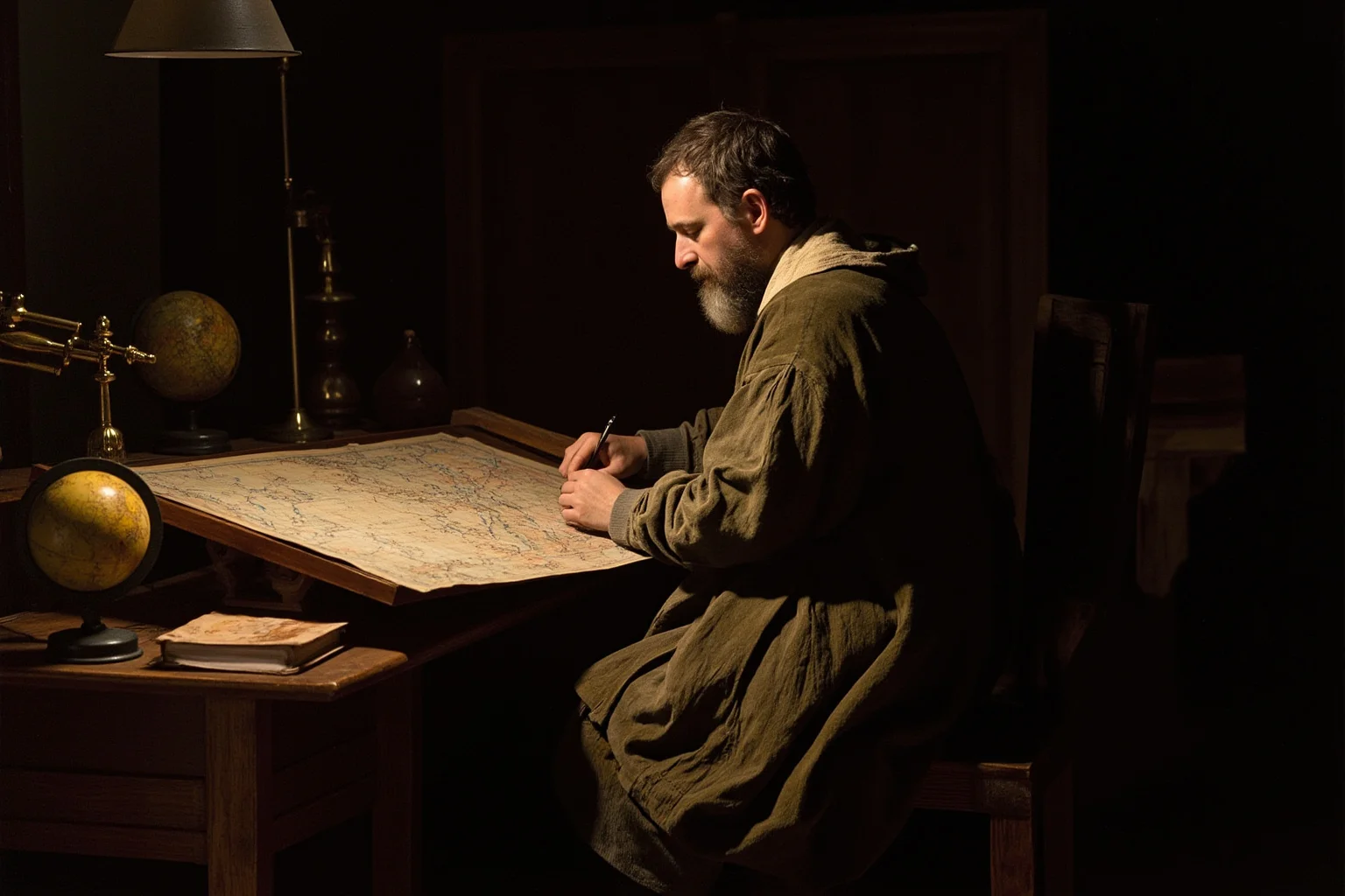
Determining longitude at sea was the greatest cartographic challenge of the 17th and 18th centuries. Latitude was easy to find using the sun or stars, but longitude required knowing the exact time difference between your location and a reference point. Without accurate timekeeping, ships could be hundreds of miles off course.
In 1714, the British Parliament offered a huge prize for a practical solution. John Harrison, a self-taught clockmaker, spent decades building seaworthy clocks that could keep accurate time on rolling ships. His H4 chronometer, completed in 1761, finally solved the problem, though he had to fight for years to claim the reward.
This breakthrough transformed exploration. Captain James Cook used a copy of Harrison's chronometer on his voyages, producing maps of the Pacific that were stunningly accurate. The ability to fix longitude precisely meant that maps could be trusted for long ocean crossings, opening the door to safer and more ambitious expeditions.
The Enlightenment and the Rise of Thematic Maps
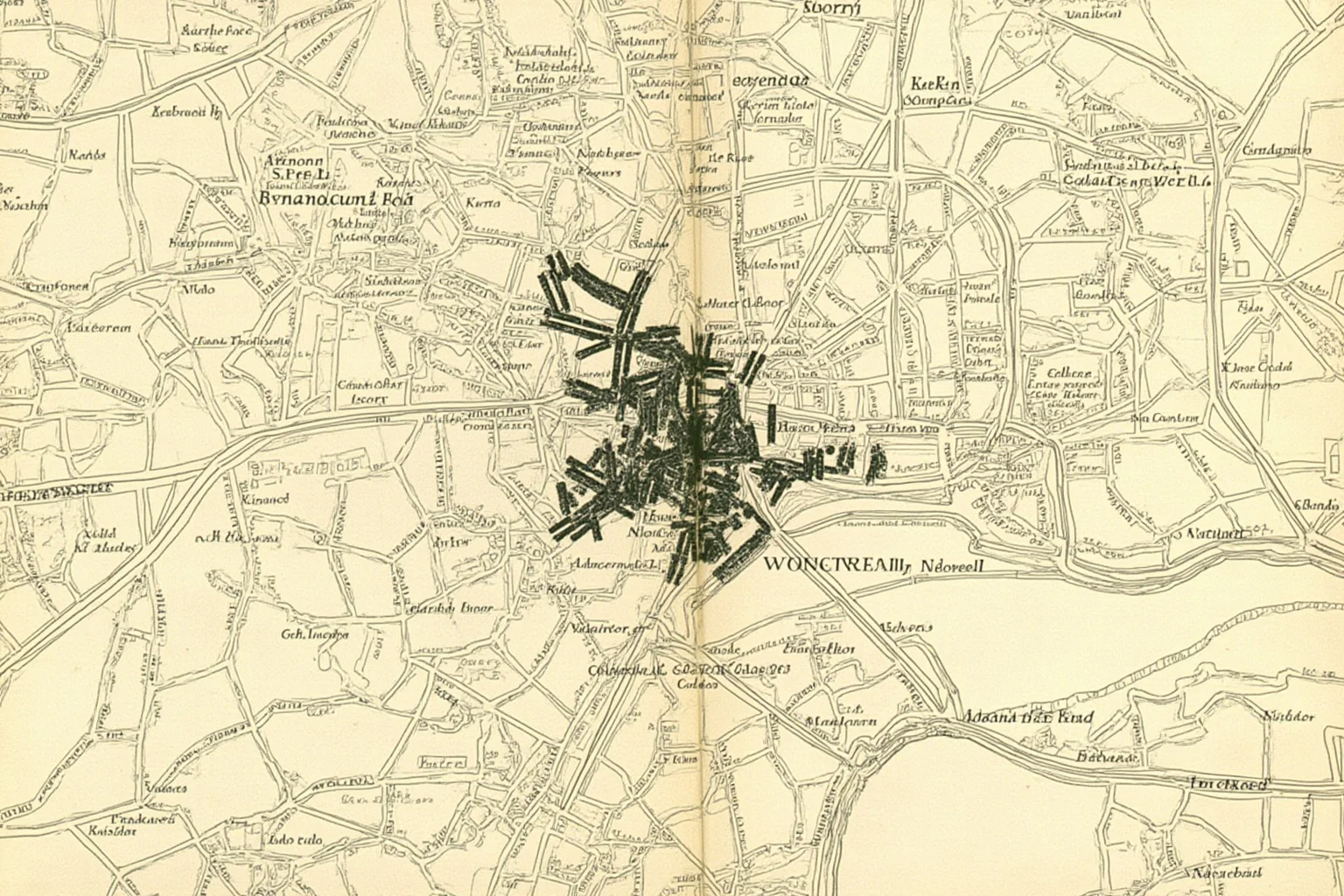
By the 18th and 19th centuries, mapmakers were no longer just charting coastlines. They began using maps to visualize data, giving birth to thematic cartography. In 1854, John Snow mapped cholera deaths in London, revealing a cluster around a contaminated water pump. This simple map helped prove that cholera was waterborne, revolutionizing public health.
Other thematic maps followed, showing everything from geology to population density to voting patterns. These maps didn't just show where things were; they showed how things were distributed, correlated, and changed over time. The history of a map now included maps that told stories with data, not just geography.
This period also saw the standardization of national mapping agencies. Countries like France and Britain launched systematic surveys to produce accurate topographic maps for military and civil use. These efforts were expensive and slow, but they created the detailed base maps we still rely on today.
The 20th Century: Aerial Photography and Digital Maps
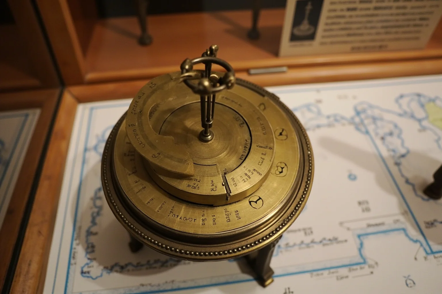
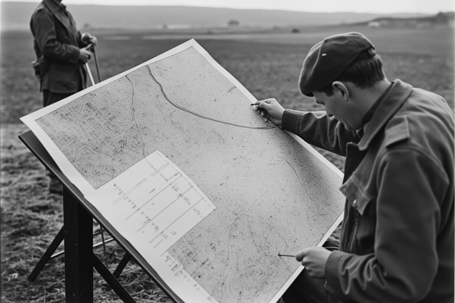
The 20th century brought two major revolutions. First, aerial photography and later satellite imagery allowed mapmakers to see the Earth from above. This provided an objective, comprehensive view that ground surveys could never match. During World War I and II, aerial reconnaissance became crucial for military planning and map production.
Second, computers transformed how maps were made and used. In the 1960s and 70s, geographic information systems (GIS) emerged, allowing users to layer and analyze spatial data. By the 1990s, digital maps were becoming common, and the launch of GPS satellites made accurate positioning available to anyone with a receiver.
The shift from paper to pixels changed the evolution of maps of the world in profound ways. Maps became interactive, updatable, and personalized. You could now zoom in to your street, get real-time traffic, and even see a satellite view of your own backyard. The map was no longer a static document but a dynamic service.
How Maps Changed Exploration: Pushing the Boundaries
The relationship between maps and exploration is cyclical. Better maps enabled explorers to go further, and their discoveries led to better maps. This feedback loop drove the European Age of Discovery, the mapping of the American West, and the exploration of the poles and oceans.
Maps also shaped what explorers expected to find. The mythical Northwest Passage, a sea route across North America, appeared on maps for centuries, luring sailors into dangerous icy waters. Similarly, the idea of a great southern continent, Terra Australis, persisted on maps long before Antarctica was sighted. Maps could inspire exploration even when they were wrong.
Perhaps most importantly, maps gave explorers a way to share their findings with the world. A captain's log might be lost, but a published map could influence future voyages for generations. The history of mapmaking is inseparable from the history of exploration because maps are the memory of exploration.
The Politics of Projection: Why Every Map Lies
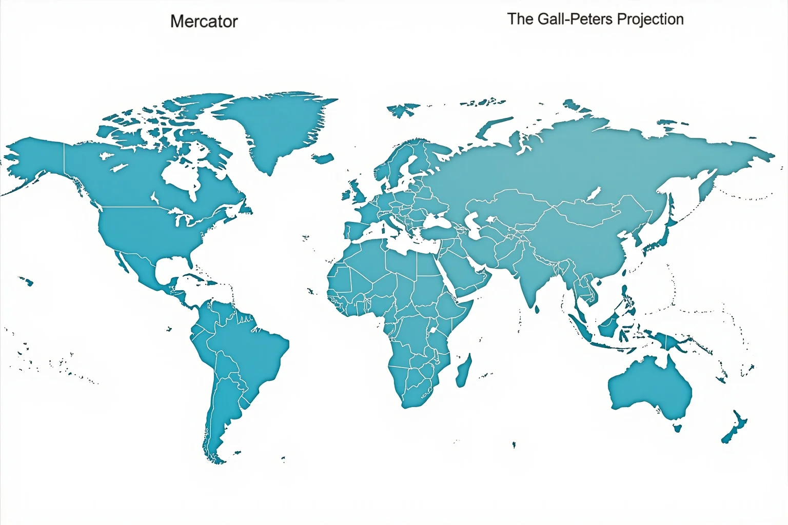
No discussion of the evolution of maps is complete without addressing map projections. Because the Earth is a sphere, any flat map must distort something: shape, area, distance, or direction. The Mercator projection, so useful for navigation, exaggerates the size of wealthy, mostly white nations in the Northern Hemisphere.
In the 1970s, Arno Peters introduced a projection that preserved area more faithfully, showing Africa and South America at their true relative sizes. His map sparked fierce debate because it challenged the subtle biases embedded in mainstream cartography. Critics noted that Peters's projection distorted shapes, but his supporters argued that correcting area was a matter of social justice.
The debate continues today. Many organizations have switched to equal-area projections like the Gall-Peters or the Winkel Tripel. The choice of projection is never neutral; it reflects what we value in a map. This realization has made map readers more critical and mapmakers more conscious of their power.
Who Created the Map? Uncovering the First Cartographers
When people ask who created the map, the honest answer is that no single person did. Mapmaking emerged independently in multiple cultures, from Mesopotamia to China to Mesoamerica, long before written history. The earliest mapmakers were unknown priests, scribes, and sailors whose names are lost to time.
The question "what did early map makers suspect and why" is equally intriguing. Many ancient mapmakers suspected that the world was much larger than their maps showed, and they were right. They also suspected that distant lands held riches and strange peoples, a belief that fueled exploration and, unfortunately, conquest.
We can credit specific individuals for major innovations: Eratosthenes for scientific geography, Ptolemy for systematic mapping, Mercator for navigation-friendly projection. But the map itself is a collective human invention, built incrementally over millennia. Its creators are legion, and its evolution continues today.
Maps in the Digital Age: From Paper to Pixels
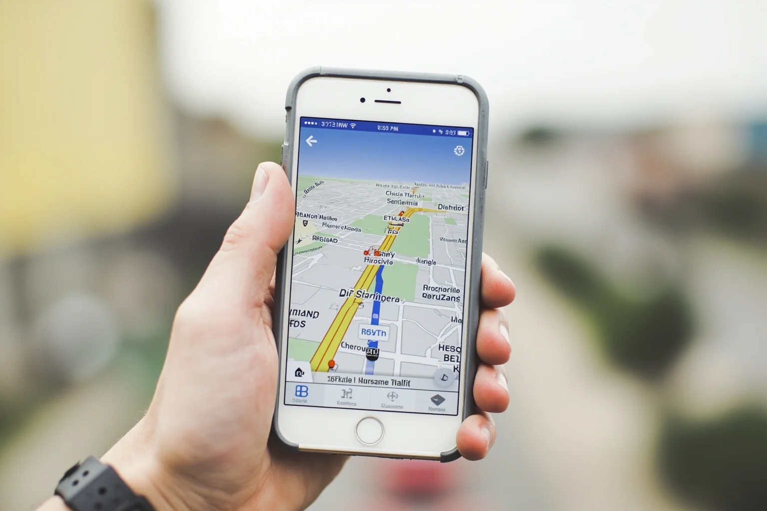
Today, digital maps are ubiquitous. Google Maps, OpenStreetMap, and countless apps guide us daily, while satellites constantly update our view of the planet. This abundance of mapping data has democratized cartography; anyone can now create and share a map online.
Yet digital maps bring new challenges. Algorithms decide what to show and what to hide, from traffic jams to political borders. Privacy concerns arise as location data is collected and used. And the digital divide means that not everyone has equal access to these powerful tools.
Despite these issues, the digital age has fulfilled a promise implicit in the history of a map: that knowledge of the world should be accessible and useful to all. We can now explore the planet from our screens, but the spirit of exploration that maps have always served remains unchanged.
The Future of Maps: Augmented Reality and Beyond
Looking ahead, maps are becoming more immersive. Augmented reality (AR) overlays digital information onto the real world, guiding us through cities or hiking trails. Self-driving cars rely on hyper-detailed maps that update in real time. And researchers are developing maps that change with the seasons or even with climate change.
The evolution of maps of the world is far from over. As we explore space, we are creating maps of other planets and moons. The same principles that guided ancient cartographers, observation, measurement, and representation, now apply to Mars and beyond.
One thing is certain: as long as humans explore, we will make maps. And as long as we make maps, we will be changed by them, seeing the world in new ways and finding new places to go. The history of mapmaking is a story of human curiosity, and it continues to unfold.
Conclusion: Maps as Catalysts for Exploration
The evolution of maps is a mirror of human progress. From clay tablets to digital screens, each advance in cartography has expanded the known world and fueled the urge to explore it. Maps are not just records of where we've been; they are invitations to go further.
Understanding this history helps us appreciate the sheer audacity of early explorers and mapmakers. They ventured into the unknown with incomplete and often wrong information, yet their efforts laid the foundation for our modern world. The next time you open a map app, remember the millennia of ingenuity behind that glowing screen.
So who created the map? We all did, collectively, over thousands of years. And we're still creating it, one discovery at a time.
Frequently Asked Questions
Who created the map?
No single person created the first map. Mapmaking emerged independently in several ancient cultures, including Mesopotamia, Egypt, China, and Mesoamerica, often for religious, administrative, or navigational purposes. The earliest surviving map-like artifact is a Babylonian clay tablet from around 600 BCE, but even older cave paintings and carvings suggest mapping predates written history. Credit for major innovations goes to figures like Eratosthenes (scientific geography) and Ptolemy (systematic mapping), but the map as a concept is a collective human invention.
What did early map makers suspect and why?
Many early mapmakers suspected that the world was far larger than their maps depicted, and they were correct. They also suspected that distant lands held valuable resources and unknown peoples, which motivated exploration and trade. These suspicions arose from travelers' tales, logical deduction (e.g., the possibility of sailing around Africa), and the sheer incompleteness of their maps. Unfortunately, these suspicions also fueled colonial conquest.
How did the Mercator projection change exploration?
The Mercator projection, introduced in 1569, allowed sailors to plot a straight line of constant compass bearing (a rhumb line) on a flat map, greatly simplifying navigation. This made long ocean voyages more predictable and safer, directly enabling the Age of Exploration. However, the projection distorts the size of landmasses near the poles, a trade-off accepted for navigational utility.
What was the longitude problem and how was it solved?
Determining longitude at sea was critical for accurate navigation but proved extremely difficult. Latitude could be found from the sun or stars, but longitude required knowing the exact time difference between the ship and a reference point. In 1714, Britain offered a prize, and John Harrison built seaworthy chronometers in the 18th century that kept accurate time on ships. His H4 chronometer, completed in 1761, finally solved the problem and transformed ocean exploration.
Are modern digital maps more accurate than old paper maps?
Digital maps are generally more accurate in terms of positional data and can be updated in real time, but they still involve choices about what to show and how to project the globe. Like all maps, they are representations, not perfect copies, and can contain errors or biases. However, their ability to layer data, provide directions, and adapt to user needs makes them vastly more versatile than paper maps.

Alex Warren
Related Articles