
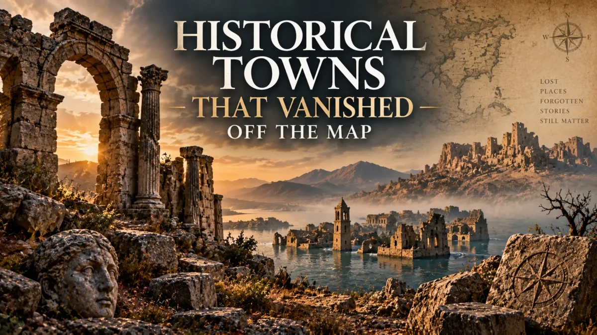
Open any map app, zoom into a patch of desert, forest, or coastline, and you might stumble across a strange little pin labeled “abandoned village” or “ghost town.” Curiosity kicks in immediately — who lived here? Why did they leave? Is it still there? This exact curiosity is why so many people search terms like “Wikimapia abandoned” every month, hunting for real-world places that seem to have slipped through the cracks of history.
The truth is both stranger and more grounded than the internet rumor mill suggests. Some towns really did disappear almost overnight, swallowed by volcanic ash, floodwaters, or war. Others faded slowly, drained of people by economics, disease, or shifting borders, until only foundations and street grids remained.
And a fair number of “abandoned” pins on crowdsourced maps are exaggerated, outdated, or simply wrong. This guide separates the documented history from the myth, and shows you how to responsibly research vanished towns using the same digital tools armchair explorers rely on today.
TL;DR: Towns vanish from maps for real, well-documented reasons — disasters, war, economic collapse, and forced relocation — but crowdsourced tools like Wikimapia mark many “abandoned” sites based on unverified user tags, so smart researchers always cross-check with satellite imagery, archives, and local records.
What Does It Really Mean for a Town to “Vanish”?
Before diving into specific places, it’s worth clarifying what “vanished” actually means in a historical context, because it rarely means a town disappeared into thin air.
Most vanished towns fall into a few overlapping categories:
- Physically destroyed — buried by ash, lava, floodwater, or landslides, sometimes within hours or days.
- Deliberately abandoned — emptied by war, government relocation, or environmental hazards like mining collapse or radiation.
- Economically hollowed out — the population left gradually as industries failed, leaving structures standing but empty.
- Absorbed or renamed — the town didn’t disappear so much as merge into a larger settlement or get renamed, erasing the original identity from modern maps.
- Erased from record-keeping — the settlement existed and was later omitted from official maps due to political boundary changes, colonization, or simple administrative neglect.
Understanding which category a place falls into matters, because it changes what you can expect to find if you go looking — whether that’s excavated ruins, an eerie but intact ghost town, or literally nothing but a name in an old land registry.
Towns Erased by Natural Disaster
Some of history’s most famous vanished towns were destroyed with terrifying speed, and their sudden loss is precisely why they’re so well documented.
Pompeii and Herculaneum, Italy. The eruption of Mount Vesuvius in 79 CE is the textbook example of a town vanishing almost instantly. Ash and pyroclastic flow buried both Roman towns — remnants of one of history’s most studied ancient civilizations — so completely that they were essentially frozen in time, undiscovered for over 1,500 years until systematic excavation began in the 18th century. Unlike many “lost city” legends, Pompeii’s fate is backed by extensive archaeological and eyewitness evidence, including the letters of Pliny the Younger, who described the eruption from across the Bay of Naples.
Port Royal, Jamaica. Once a notorious pirate haven and one of the wealthiest ports in the English colonies, much of Port Royal sank into Kingston Harbour after a massive earthquake in 1692. Two-thirds of the town reportedly slid into the sea, and underwater archaeology has since confirmed submerged streets and structures, giving Port Royal a legitimate claim as a real “lost underwater town” rather than an exaggerated legend.
Plymouth, Montserrat. A more recent example: this Caribbean capital was buried under volcanic ash and mud following the eruptions of the Soufrière Hills volcano starting in 1995. Plymouth is still technically the capital of Montserrat on paper, but it has been an exclusion zone for decades, making it one of the few genuinely modern ghost towns caused by a natural disaster.
These examples share something important: their destruction is corroborated by multiple independent sources — geological surveys, contemporary written accounts, or ongoing excavation. That’s the standard worth applying to any vanished-town claim you encounter online.
Towns Lost to War and Political Upheaval

War and shifting borders have erased entire settlements, sometimes leaving behind ruins and sometimes leaving almost nothing visible at all.
Ani, Turkey. Once a flourishing medieval Armenian capital whose wealth and population rivaled some of history’s great ancient civilizations, Ani declined over centuries due to invasions, earthquakes, and shifting trade routes, before being largely abandoned by the 17th century. Today its dramatic stone ruins sit near the Turkey-Armenia border, a haunting reminder of how geopolitics and repeated conflict can hollow out even a once-thriving metropolis.
Oradour-sur-Glane, France. In June 1944, this village was destroyed and most of its residents killed by German forces during World War II. Rather than rebuild on the same site, France preserved the ruins as a permanent memorial, and a new village was constructed nearby. Oradour-sur-Glane is a stark example of a town that vanished not through neglect but through deliberate atrocity — and its story is documented through survivor testimony, war records, and postwar investigations.
Villages submerged or dismantled by border and infrastructure changes. Numerous villages throughout Eastern Europe were depopulated or physically dismantled following World War II border shifts, forced population transfers, and later Soviet-era infrastructure projects like dam construction. Many of these settlements don’t appear on modern maps at all, existing only in prewar cadastral records and local memory.
Ghost Towns Born From Economic Collapse
Not every vanished town met a violent or sudden end. Many simply ran out of reasons to exist.
Bodie, California. A booming gold-mining town in the 1870s with a population once estimated near 10,000, Bodie declined as the gold deposits were exhausted and mining became unprofitable. Today it’s preserved by the state of California in a condition of “arrested decay” — buildings still standing, shelves still stocked with old goods, but no residents.
Kolmanskop, Namibia. Built during a diamond rush in the early 1900s in the middle of the Namib Desert, this German colonial town had amenities as lavish as a ballroom and a hospital with early X-ray equipment. When diamond yields declined and richer deposits were found elsewhere, the town was abandoned by the 1950s. The desert has since reclaimed many buildings, with sand dunes spilling through doorways and windows — one of the most photographed ghost towns in the world.
Centralia, Pennsylvania. Perhaps the best-known modern American ghost town, Centralia was evacuated after an underground coal seam fire ignited in 1962 and continued burning for decades, releasing dangerous gases and causing ground subsidence. The state revoked the town’s zip code in 2002, and its population dropped from over 1,000 to a small handful of remaining residents. Unlike ancient ruins, Centralia’s story is documented in detail through government records, news coverage, and litigation.
These economic ghost towns tend to be the ones most commonly mislabeled online, since “abandoned” can mean anything from completely empty to just sparsely populated with a few holdout residents.
How Historians and Explorers Rediscover Lost Places
Long before satellites and crowdsourced maps, historians relied on a patchwork of sources to relocate vanished settlements: tax and land records, church registries, military surveys, oral histories, and physical excavation.
Archaeologists still use these methods today, often combined with newer technology like LIDAR (light detection and ranging), which can reveal building foundations and road networks hidden under forest canopy or sand.
What’s changed in the last two decades is accessibility. You no longer need a research grant to go looking for a lost settlement — you can start with a browser.
Enter Wikimapia and Crowdsourced Mapping
Wikimapia is a free, user-editable satellite mapping platform launched in 2006, built on top of satellite imagery with a Wikipedia-style layer of user-added descriptions, tags, and outlines. Anyone can draw a boundary around a location and label it — including tags like “abandoned village,” “abandoned factory,” or “ghost town.”
This is precisely why so many people search “Wikimapia abandoned” — it’s become an informal, browsable catalog of supposedly deserted places all over the world, from Soviet-era industrial sites to rural villages in South Asia to remote farmsteads in the Americas.
That accessibility is genuinely valuable. Wikimapia has helped urban explorers, historians, and hobbyists surface real, lesser-known abandoned sites that never made it into guidebooks or academic papers. Some legitimate ghost towns and forgotten industrial complexes were first flagged for wider attention this way.
But here’s the myth-busting part: a Wikimapia tag is not verification. Because the platform is open-edit, labels reflect whatever the last contributor believed or wanted to write, and entries aren’t fact-checked by historians or local authorities. A location tagged “abandoned” might be:
- Genuinely deserted and matching the description.
- Abandoned decades ago but now demolished or redeveloped, with the tag never updated.
- Only partially abandoned — a few empty buildings surrounded by an otherwise active community.
- Mislabeled entirely, sometimes due to translation issues, outdated satellite imagery, or a contributor’s guess.
In other words, Wikimapia is a great starting point for discovery and a poor final source for historical accuracy. Treat it the way you’d treat an anonymous tip: interesting, worth investigating, not something to cite as fact.
Cross-Checking Digital Clues Responsibly
If a Wikimapia entry (or a similar crowdsourced tag on Google Maps or OpenStreetMap) piques your interest, a few extra steps can tell you whether it holds up:
- Check the imagery date. Most satellite platforms show when the imagery was captured. A tag based on a photo from 2011 may no longer reflect current reality.
- Look for corroborating written sources. Local news archives, regional historical societies, and academic land-use studies often document real abandonments with dates and causes.
- Search for the place name in multiple spellings. Transliteration and translation differences are a huge source of confusion in crowdsourced geography, especially for non-English place names.
- Compare against government or census data, where available, to see if a population was formally recorded as zero or declining sharply.
- Be cautious with user comments claiming ghost stories or paranormal activity. These add color but are not historical evidence, and they tend to snowball into unverifiable legend if repeated uncritically across blogs and forums.
This kind of light digital-detective work is exactly how serious urban explorers, genealogists, and amateur historians turn a vague map pin into a credible lead — or, just as often, rule out a false one.
Towns That Didn’t Vanish So Much as Get Forgotten

A subtler category of “vanished” towns involves places that never suffered a dramatic destruction or exodus — they simply stopped being recorded. Administrative border changes, colonial-era renaming, and the consolidation of small hamlets into larger municipalities have quietly erased thousands of place names from modern maps throughout history.
This is common across former empires and colonies, where a settlement’s indigenous or original name was replaced, and the earlier name faded from official use even though descendants of the community may still live in the same area.
Local historians and indigenous cultural organizations have done significant work reconstructing these place histories from oral tradition, old maps, and archival documents, restoring names and stories that formal cartography left behind.
This category is a good reminder that “vanished” doesn’t always mean destroyed — sometimes it just means overlooked by the record-keepers of the time, which makes careful archival research (not just satellite browsing) essential to getting the full picture.
Visiting Vanished Towns: What to Know
If a genuinely abandoned or ruined town has caught your interest, a little practical caution goes a long way:
- Check legal access. Some ghost towns, like Bodie, are state parks with visiting hours and rules. Others, like Plymouth in Montserrat, are within active exclusion zones due to ongoing hazards, and entering without authorization can be dangerous or illegal.
- Verify ownership. Many abandoned-looking structures sit on private land. “Abandoned” doesn’t always mean unowned.
- Assess physical risk. Structural collapse, contaminated groundwater, old mining shafts, and unstable terrain are real hazards at many ghost towns, especially ones without formal preservation.
- Respect memorial sites. Places like Oradour-sur-Glane are preserved specifically as solemn memorials, not tourist curiosities, and should be treated with the same respect as a cemetery or battlefield.
When in doubt, local historical societies, national park services, or regional tourism boards are far more reliable guides to safe and legal access than a crowdsourced map pin.
Why These Vanished Towns Still Matter
Every vanished town, whether buried by ash, dismantled by war, or simply drained by economics, is a physical record of how fragile human settlement can be — and how much resilience it takes to rebuild afterward.
Studying them isn’t just a curiosity hobby; it connects directly to disaster preparedness, urban planning, environmental science, and the preservation of cultural memory for communities whose histories might otherwise be reduced to a blank space on a map.
Tools like Wikimapia have done something genuinely useful here: they’ve crowdsourced attention toward thousands of obscure, easily overlooked places that professional cartographers and historians simply haven’t gotten to yet. The catch is that crowdsourcing surfaces leads, not conclusions.
The most rewarding way to explore vanished towns — online or in person — is to treat every abandoned tag as the beginning of a research trail, not the end of one. Chase it down through real archives, verified reporting, and, where possible, the people who still remember what was there before it disappeared from the map.
Frequently Asked Questions
What is Wikimapia and why do people search for ‘Wikimapia abandoned’ places?
Wikimapia is a free, user-editable satellite mapping platform launched in 2006 that lets contributors outline and label locations, including tags like 'abandoned village' or 'ghost town.' People search 'Wikimapia abandoned' because it functions as an informal, crowdsourced catalog of supposedly deserted places worldwide, making it a popular starting point for armchair explorers and history enthusiasts.
Are all locations tagged ‘abandoned’ on Wikimapia actually deserted?
Not necessarily. Because Wikimapia is open-edit and not fact-checked, tags can be outdated, mistranslated, or based on old satellite imagery. Some tagged sites are genuinely abandoned, others are only partially empty, and some have since been redeveloped or demolished. It's best treated as a lead to investigate, not a confirmed fact.
What is the most historically significant vanished town?
Pompeii, buried by the eruption of Mount Vesuvius in 79 CE, is among the most historically significant vanished towns due to the sheer amount of well-preserved archaeological evidence and corroborating eyewitness accounts, such as the letters of Pliny the Younger.
Can you visit ghost towns and abandoned towns found through map research?
Many, like Bodie, California, are legally accessible as preserved historic sites or state parks. Others, such as Plymouth in Montserrat, are restricted due to ongoing hazards. Always verify legal access, land ownership, and safety conditions through official sources before visiting any site found through crowdsourced maps.
Why do towns disappear from historical maps?
Towns disappear from maps for several reasons: natural disasters like volcanic eruptions or earthquakes, deliberate abandonment due to war or environmental hazards, gradual economic decline as industries fail, or administrative changes such as renaming, border shifts, or absorption into larger municipalities.

Alex Warren
Related Articles