


TL;DR: Twenty independent lines of evidence—from matching fossils and rocks to GPS measurements—confirm that the continents were once fused into the supercontinent Pangea, and they continue to drift today.
Imagine a world where Africa, South America, Antarctica, Australia, and India were pressed together like puzzle pieces. That world was Pangea, a supercontinent that assembled roughly 335 million years ago and began breaking apart about 175 million years ago. The idea sounds like science fiction, but it is one of the most thoroughly tested conclusions in geology.
In this post, we count down 20 ways scientists can tell how and where the continents were fused. Along the way, we will separate genuine evidence for Pangea from popular myths—including the persistent question of whether humans ever walked on it.
1. The Jigsaw Fit of the Continents

The first clue is the one you can see on any world map. The eastern coast of South America and the western coast of Africa look like they were torn apart. Geologists call this apparent match the "jigsaw fit."
Abraham Ortelius noticed the similarity as early as 1596, but he had no mechanism to explain it. It took another three centuries for scientists to treat the fit as evidence rather than coincidence. Today, computer reconstructions show the fit is even better when you use the true edges of the continents—the submerged continental shelves—rather than the modern coastlines.
2. Matching Mountain Belts Across Oceans
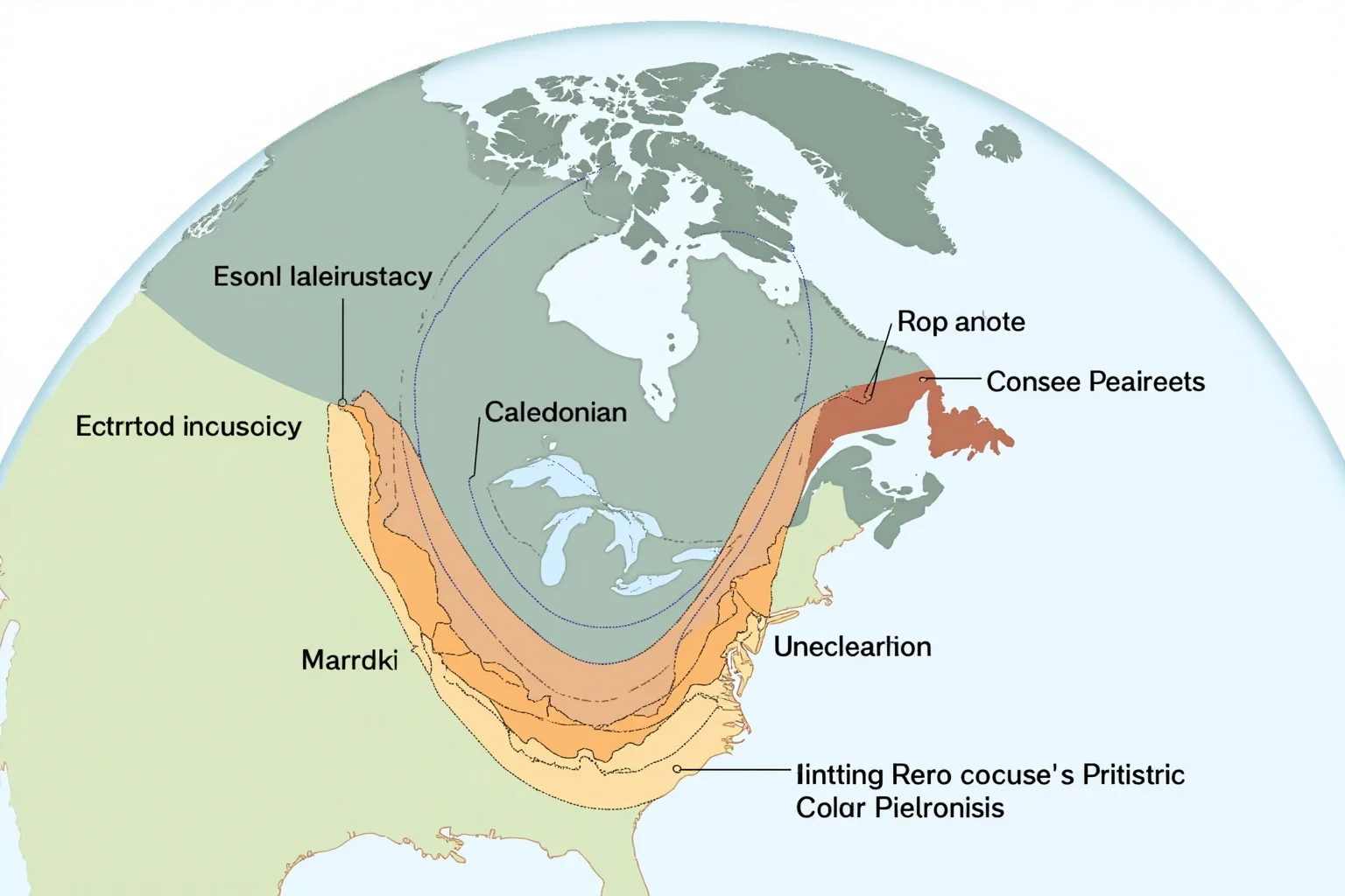
Mountain ranges do not stop politely at the shoreline. The Appalachian Mountains of eastern North America continue into the Caledonian Mountains of Scotland and Scandinavia. Similarly, the Cape Fold Belt in South Africa lines up with the Sierras de la Ventana in Argentina.
When you slide the continents back together, these ancient mountain belts form a single continuous chain. That continuity is hard to explain unless the landmasses were once joined. The rocks in these belts share the same ages and the same folding patterns.
3. Identical Fossils on Distant Shores
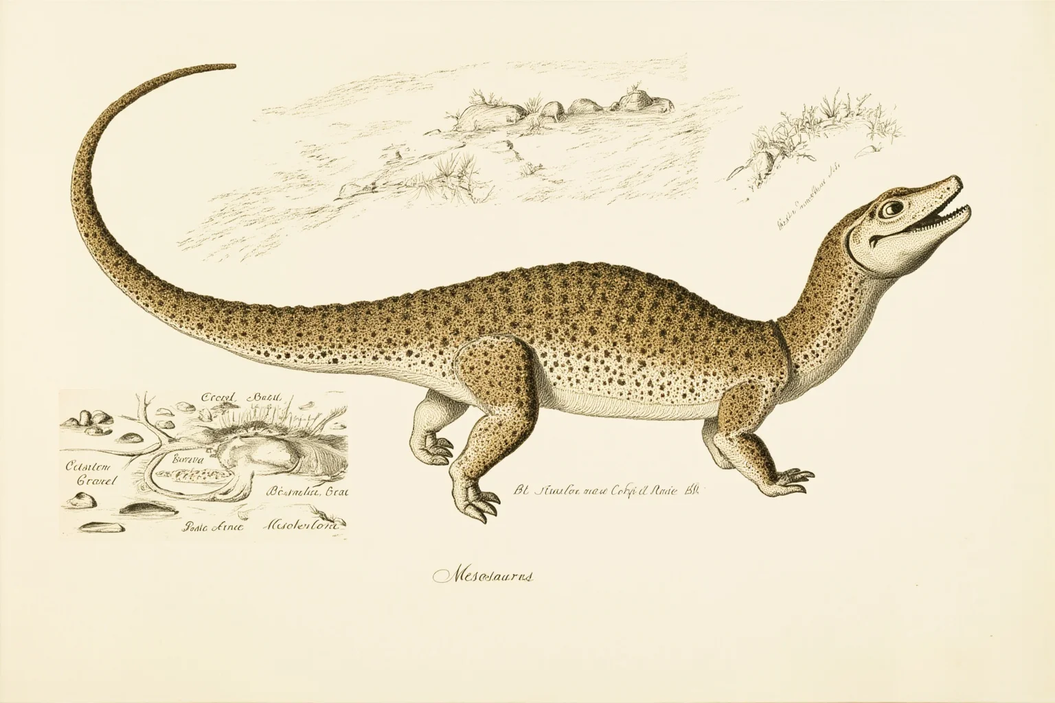
The fossil evidence of Pangea is some of the most persuasive proof of Pangea. The small freshwater reptile Mesosaurus is found only in Early Permian rocks of southern Africa and southeastern Brazil. A reptile that lived in lakes and rivers could not have swum across the Atlantic Ocean.
Likewise, the land-dwelling reptile Lystrosaurus appears in Africa, India, and Antarctica. And the fern-like plant Glossopteris is found across all the southern continents. These organisms could not have crossed wide oceans, so the continents must have been connected.
4. The Glossopteris Flora and Its Seeds
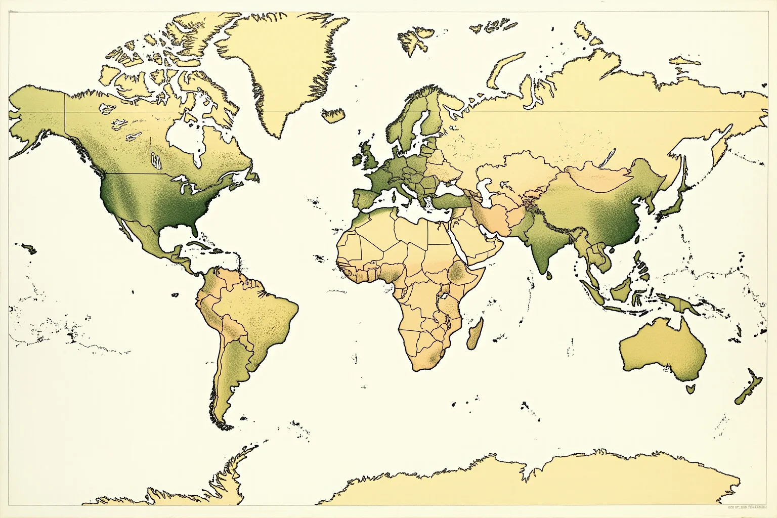
Glossopteris deserves its own entry because its seeds tell a story. The plant produced large, heavy seeds that could not travel far on the wind. Yet its fossils turn up in South America, Africa, India, Australia, and Antarctica.
Paleobotanists point out that the distribution makes sense only if those landmasses were joined in a single southern region called Gondwana. The seeds simply fell to the ground on land that later split apart. This is a classic example of fossil evidence pangea researchers cite again and again.
5. Coal Deposits in Unlikely Places
Coal forms from compressed plant material in tropical swamps. Today, Antarctica is a frozen desert, but it contains substantial coal seams. So do India, Australia, and southern Africa.
These coal deposits all formed during the Carboniferous and Permian periods, when those regions sat near the equator within Pangea. The coal itself is evidence that the continents have moved dramatically since then. You cannot grow swamp forests at the South Pole.
6. Glacial Striations and Tillites
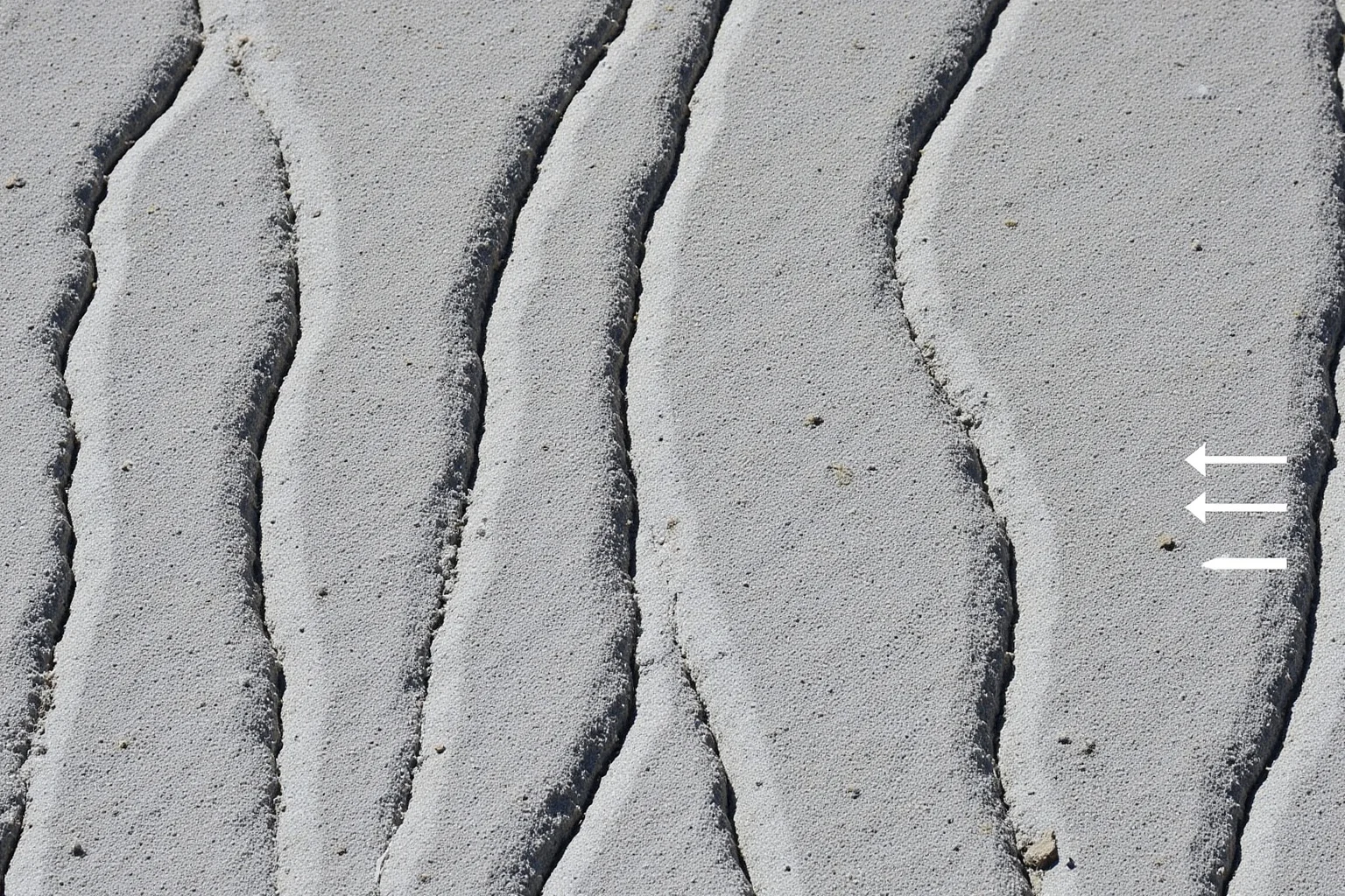
About 300 million years ago, large ice sheets covered parts of Pangea. As the ice moved, it scratched the bedrock beneath it, leaving grooves called striations. It also dropped unsorted rock debris called tillite.
Geologists find these glacial features in South America, Africa, India, and Australia. When the continents are reassembled, the scratch marks all point away from a single ice center. That pattern is impossible if the continents were always where they are now. If you want to dig deeper into how ice sheets reshape landscapes, these ice age facts offer a good starting point.
7. Paleomagnetic Stripes on the Ocean Floor
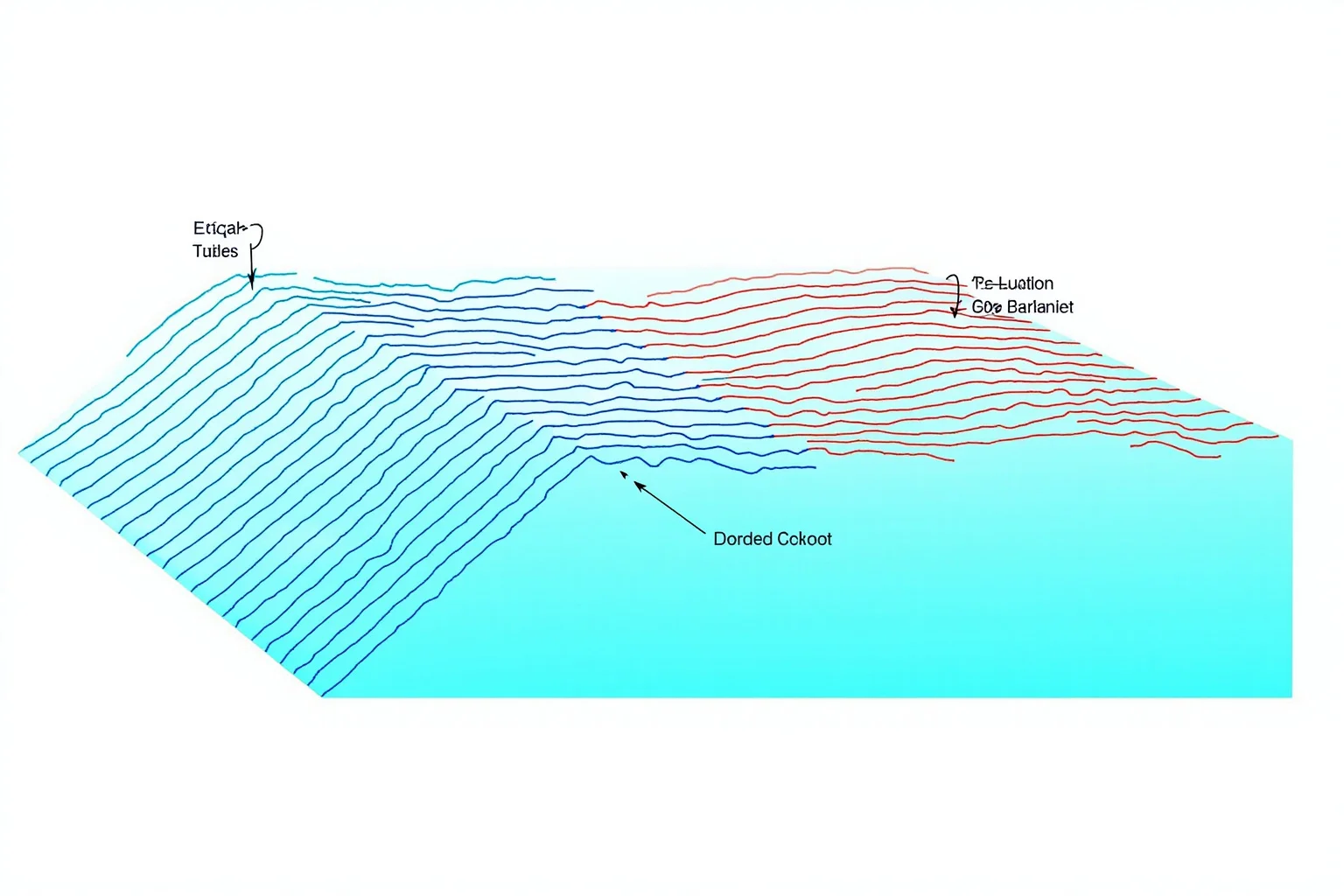
In the 1960s, scientists discovered that the ocean floor is striped with alternating magnetic bands. These stripes record reversals of Earth's magnetic field as new crust formed at mid-ocean ridges.
The stripes are symmetrical on either side of the ridges, which means the seafloor is spreading. This discovery provided the mechanism for continental drift. It also gave scientists a way to measure how fast the continents have moved apart.
8. Matching Rock Sequences and Ages
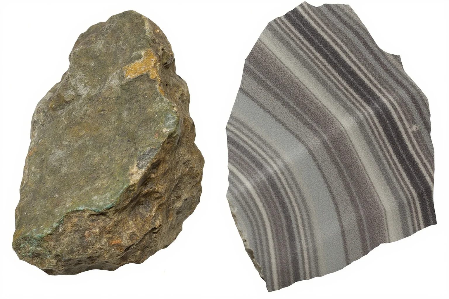
Radiometric dating allows geologists to compare rock units across oceans. When they do, they find that Precambrian rock sequences in Brazil match those in western Africa almost exactly. The same is true for parts of Antarctica and Australia.
These matching sequences include not just rock types but also their ages and their structural histories. Such detailed correspondence is extremely unlikely to arise by chance. It is one of the strongest pieces of evidence that Pangaea existed as a single landmass.
9. The Distribution of Marsupials
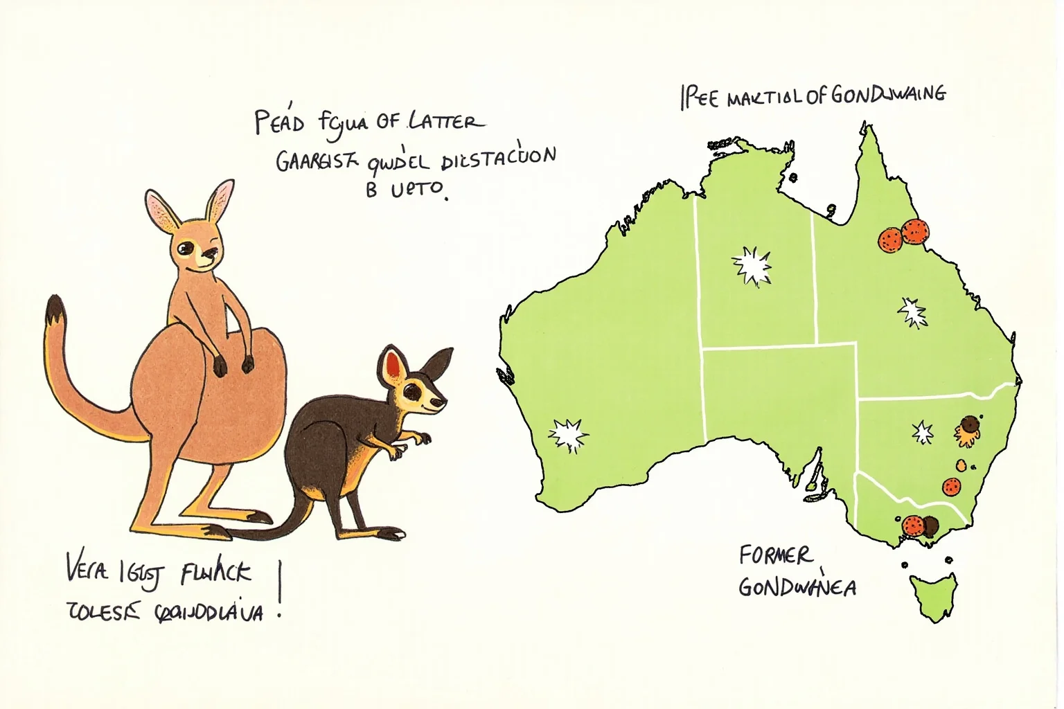
Marsupials—kangaroos, koalas, opossums, and their relatives—are concentrated in Australia and South America. A few species also live in North America. Their fossil record shows they originated in South America when it was still connected to Antarctica and Australia.
They spread across a southern land bridge before the continents separated. Once the gap widened, the populations evolved independently. This biogeographic pattern is a direct consequence of Pangea's breakup.
10. The Fossil Record of Early Dinosaurs
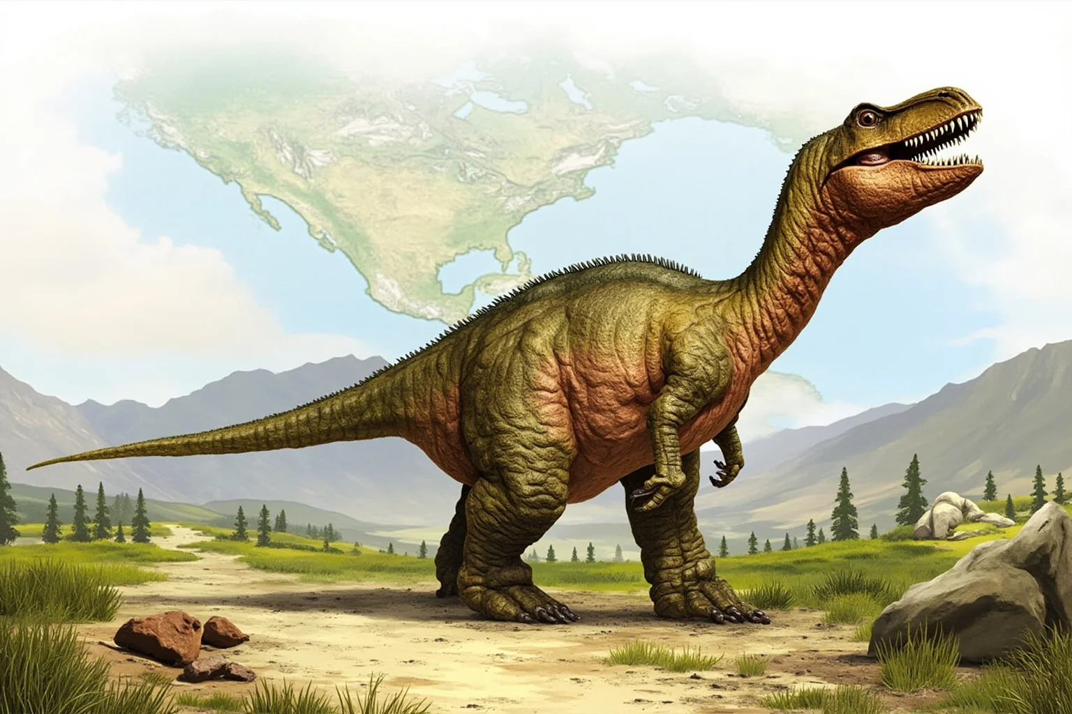
Early dinosaurs such as Herrerasaurus and Eoraptor appear in Triassic rocks of South America. Similar early dinosaur fossils show up in Africa and India. During the Triassic, these regions were still joined as part of Pangea.
As the supercontinent split, dinosaur populations became isolated and evolved along different paths. The fossil record therefore preserves both the connection and the later separation. It is a natural experiment in evolution driven by plate tectonics. If you are curious where the richest dinosaur fossil beds are found today, this list of areas with the most dinosaur bones worldwide is worth a look.
11. Paleoclimate Indicators
Climate-sensitive rocks tell us where continents once sat. Evaporites—salts left by evaporating water—form in arid belts. Coral reefs form in warm, shallow seas. Coal forms in wet tropics.
When geologists map these indicators onto a Pangea reconstruction, they line up with expected climate zones. For example, desert sandstones appear at the predicted latitudes of the supercontinent's interior. This coherence is powerful evidence for Pangea and its position on the globe.
12. The Fit of Continental Shelves
Early critics of continental drift pointed out that coastlines do not fit perfectly. The objection was fair: coastlines are shaped by erosion and sea-level change. The real edges of continents are the continental shelves, which extend far offshore.
When you fit the shelves together, the match improves dramatically. This was one of the key advances that helped convince skeptics in the mid-20th century. It also explains why the jigsaw fit looked slightly off on ordinary maps.
13. Seismic Tomography of the Deep Mantle
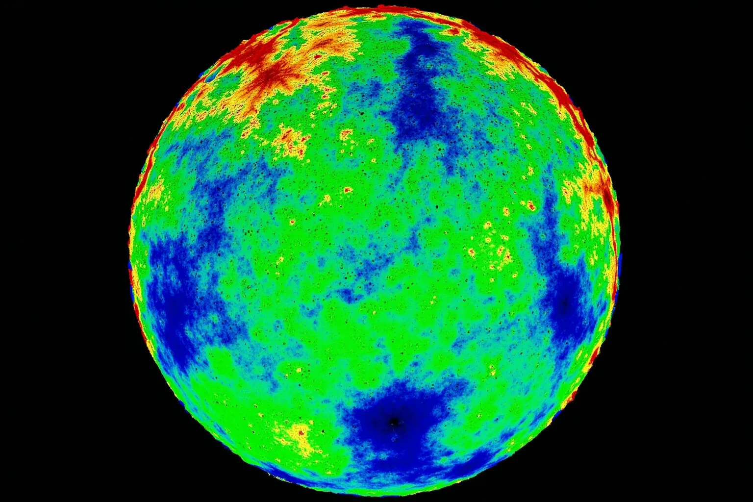
Modern seismology can image the interior of the Earth. Seismic waves travel faster or slower depending on temperature and composition. By mapping these variations, scientists can see slabs of ancient ocean floor sinking deep into the mantle.
These tomographic images reveal where past subduction occurred. They help reconstruct the positions of continents millions of years ago. This technique has become a major tool for testing Pangea reconstructions.
14. GPS Measurements of Continental Motion
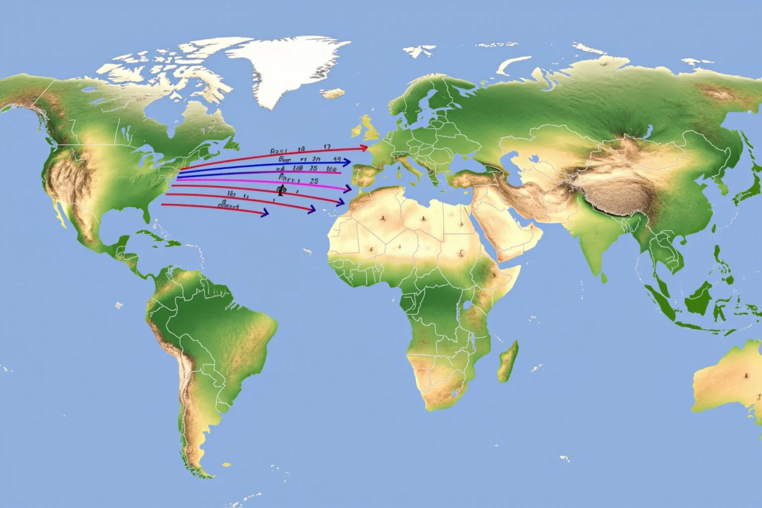
Today, we do not have to infer movement from ancient rocks alone. GPS stations around the world measure plate motion in real time. For example, the Atlantic Ocean is widening by about 2 to 3 centimeters per year.
These measurements confirm that continents are still drifting. They also let scientists extrapolate backward to test how Pangea broke apart. The rates match the rates inferred from magnetic stripes and hotspot tracks.
15. Hotspot Tracks and Plate Motion
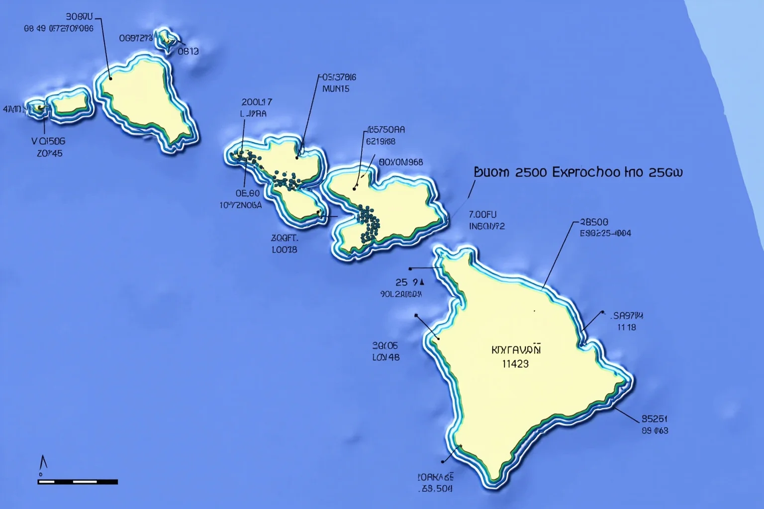
Hotspots are fixed plumes of heat in the mantle that create volcanic islands. As a plate moves over a hotspot, it leaves a chain of islands and seamounts. The Hawaiian-Emperor seamount chain is the classic example.
By dating the volcanoes in these chains, scientists can reconstruct the direction and speed of plate motion. When applied to the Atlantic, these tracks show how Africa and South America separated. They provide independent confirmation of Pangea's breakup history.
16. The Distribution of Ancient Reefs
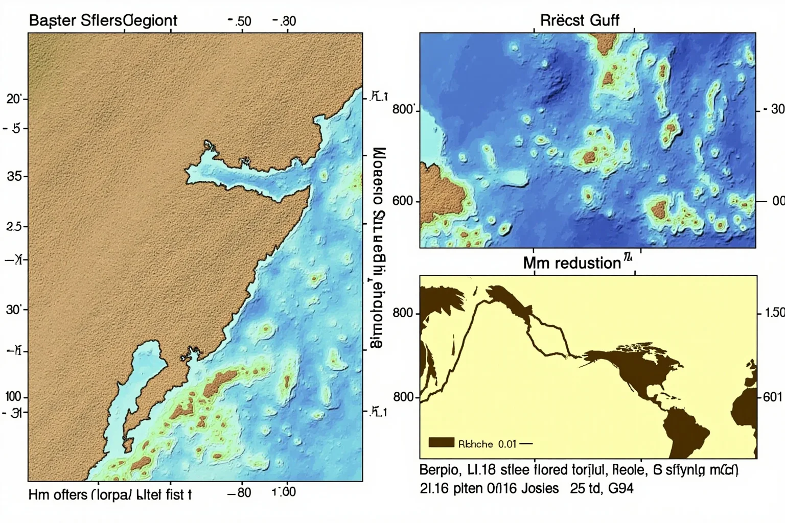
Reef-building corals require warm, clear, shallow water. Their fossils are therefore excellent climate indicators. Ancient reef deposits are found in places that are now far from the tropics.
When these reefs are plotted on a Pangea map, they cluster in a narrow tropical belt. This pattern matches what you would expect if the continents had drifted since the reefs formed. It is another strand of evidence that Pangaea existed.
17. Matching Precambrian Basement Rocks
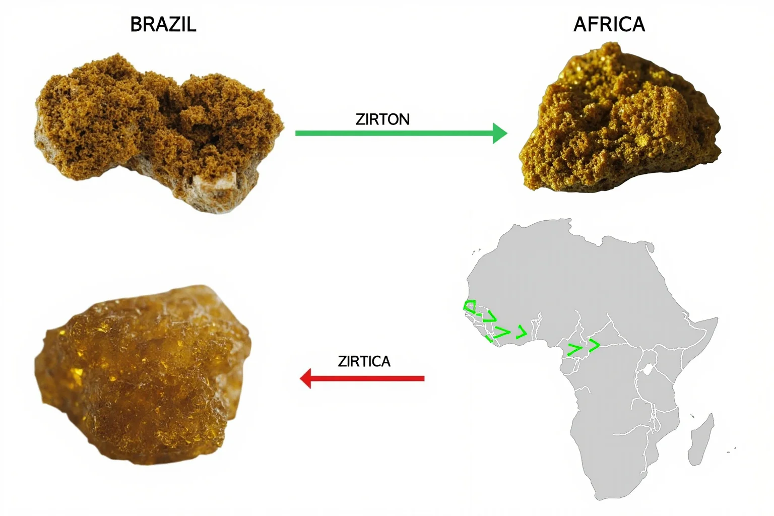
Beneath the sedimentary cover, continents have a basement of ancient crystalline rocks. Geologists compare the ages and isotopic signatures of these basement rocks across oceans. They find striking matches between South America and Africa.
The São Francisco craton in Brazil, for example, aligns with the Congo craton in Africa. These matches are based on uranium-lead dating of zircons and other minerals. They provide a deep-time fingerprint of continental connections.
18. The Breakup of Pangea and Seafloor Spreading
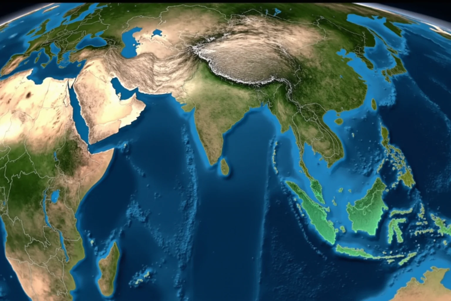
The breakup of Pangea began with rifting in the Triassic. As the continents pulled apart, magma rose and new oceanic crust formed. This process created the Atlantic Ocean and the Indian Ocean.
The ages of the ocean floor increase away from the mid-ocean ridges. This pattern is exactly what seafloor spreading predicts. It also gives us a timeline for when each continent separated.
19. Paleontological Evidence from Antarctica
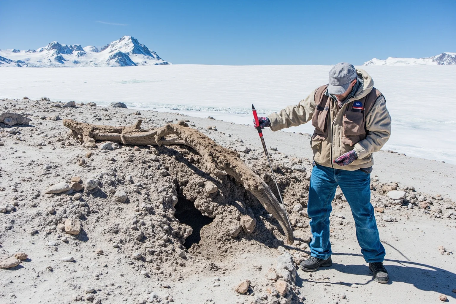
Antarctica is not just ice. Its mountains contain fossils of plants and animals that lived in warmer times. Paleontologists have found Glossopteris leaves, Lystrosaurus bones, and even early dinosaur relatives there.
These fossils could not have survived in today's polar climate. Their presence shows that Antarctica was once part of a warmer, connected landmass. It is a vivid example of how Pangea's influence extends to the coldest continent.
20. The Human Question: Did People Ever Live on Pangea?
This is one of the most common questions about Pangea, and the answer is a clear no. Pangea existed from about 335 to 175 million years ago. The earliest members of our genus, Homo, appeared only about 2.8 million years ago.
So there were no humans on Pangea—not even close. The first humans evolved long after the supercontinent had broken into the continents we know today. If you have ever wondered "did humans exist on Pangea," the timeline settles it decisively. For a broader look at how scientists divide up Earth's deep past, see these historical time periods and eras explained.
How Scientists Discovered Pangea
Alfred Wegener proposed the theory of continental drift in 1912. He assembled evidence from fossils, rocks, and climate. But he could not explain how continents moved, and most geologists rejected his idea.
It took the discovery of seafloor spreading in the 1960s to provide a mechanism. Once that happened, continental drift became plate tectonics. Pangea was no longer a fringe idea but a cornerstone of Earth science.
Is Pangea Proven to Be Real?
Yes—Pangea is as well established as any conclusion in geology. It is supported by independent lines of evidence from paleontology, geophysics, geochemistry, and geodesy. No serious scientist doubts that the continents were once joined.
The word "proven" is tricky in science, because theories are always open to revision. But if you are asking whether Pangea is real, the answer is an emphatic yes. The evidence is overwhelming and mutually reinforcing.
Pangea Before and After: A Quick Comparison
Before Pangea, the continents were separate and had different configurations. After Pangea, they drifted into today's arrangement. The supercontinent was not the beginning or the end of continental motion.
Before Pangea, there were earlier supercontinents such as Rodinia and Nuna. After Pangea, the continents continued to move and will eventually form new supercontinents. The cycle of assembly and breakup has repeated many times.
Why Pangea Still Matters Today
Pangea explains why similar fossils appear on opposite sides of oceans. It explains why mountain belts align across continents. It even explains why certain minerals and fossil fuels are found where they are.
Understanding Pangea also helps us predict earthquakes and volcanic activity. Plate boundaries are where most of these hazards occur. The same forces that broke Pangea apart are active today.
Common Myths and Misconceptions
One myth is that Pangea was the only supercontinent. In fact, there were several before it. Another myth is that the continents move quickly. They move at about the speed your fingernails grow.
A third myth is that Pangea was a perfect jigsaw puzzle. The fit is good but not perfect, because erosion and sea-level change have altered coastlines. Scientists use continental shelves to get a better match. Misconceptions like these often spread because a vivid idea is more memorable than the evidence—much like the false memories behind the Mandela Effect examples people still debate today.
Conclusion: The 20 Ways Add Up
No single piece of evidence proves Pangea on its own. But when you combine fossils, rocks, magnetic stripes, GPS data, and more, the case becomes airtight. That is how science works: many independent lines of evidence converge on a single explanation.
The next time you look at a world map, notice how South America and Africa seem to wave at each other. They are not just neighbors across the ocean. They are long-lost siblings, separated by millions of years of continental drift.
Frequently Asked Questions
What is the strongest evidence for Pangea?
There is no single strongest piece, but the combination of matching fossils (like Glossopteris and Lystrosaurus), matching rock sequences, and paleomagnetic stripes on the ocean floor is considered decisive. Together they show the continents were once joined and have since moved apart.
Is Pangea proven to be real?
Yes. Pangea is supported by overwhelming evidence from multiple scientific fields, including paleontology, geology, geophysics, and GPS measurements. While science never claims absolute proof, the existence of Pangea is as certain as any well-established scientific conclusion.
Did humans exist on Pangea?
No. Pangea existed from about 335 to 175 million years ago, while the earliest humans appeared only about 2.8 million years ago. The timeline makes it impossible for humans to have lived on Pangea.
What did Pangea look like?
Pangea was a C-shaped supercontinent surrounded by a global ocean called Panthalassa. Its interior contained vast deserts, and its southern region, Gondwana, included Antarctica, India, Australia, Africa, and South America. The northern part, Laurasia, included North America and Eurasia.
How did scientists discover Pangea?
Alfred Wegener proposed continental drift in 1912 based on the jigsaw fit of continents, matching fossils, and rock formations. His idea was rejected until the 1960s, when seafloor spreading was discovered and provided a mechanism. That led to the modern theory of plate tectonics.
What is the difference between Pangea before and after?
Before Pangea, the continents were separate and had different arrangements; earlier supercontinents like Rodinia existed even further back. After Pangea, the continents drifted apart into today's configuration. The cycle of supercontinent assembly and breakup has repeated several times over Earth's history.
Which continents were connected through the Silk Roads?
The Silk Roads connected Asia, Europe, and Africa through a network of trade routes. They did not connect the Americas, which were separated by oceans until modern times. The Silk Roads are unrelated to Pangea, which broke up long before human history.

Alex Warren
Related Articles