

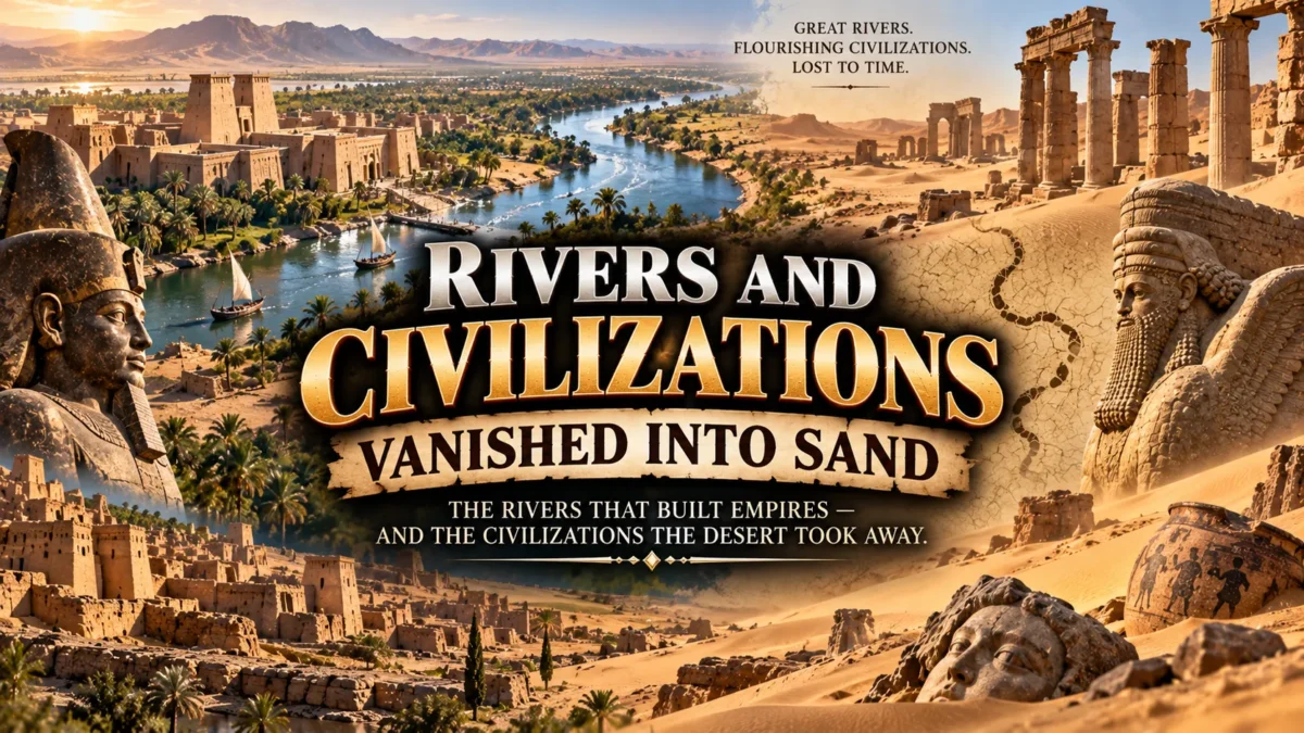
Every schoolchild learns that civilization began beside a river. But fewer people learn what happened next: rivers that gave life to cities also had the power to abandon them.
Channels shifted, floods stopped arriving on schedule, water tables dropped, and entire societies that once bustled with markets and temples ended up buried under dunes or silt, waiting for archaeologists to find them centuries later.
This is a tour through that other half of the story. We’ll look at why rivers and civilizations are so tightly linked in the first place, revisit the classic “big four” river civilizations most people learn about in school, and then dig into 20 lesser-told cases of ancient societies that rivers built and, eventually, could no longer sustain.
TL;DR: Rivers gave ancient civilizations water, food, and trade routes, but when those rivers shifted, dried up, or turned against them, at least 20 major societies—from Sumer to Angkor to Cahokia—were transformed or abandoned, often swallowed by sand, silt, or jungle.
Why Did Ancient Civilizations Develop Near Rivers?
It wasn’t a coincidence that Sumer, Egypt, the Indus Valley, and China all took shape along major waterways. Rivers solved several survival problems at once, and doing so let small farming communities grow into cities and eventually empires.
Fresh water was the most obvious draw. Rivers supplied drinking water for people and livestock, and they made irrigation possible in regions that otherwise received too little rainfall to farm reliably.
River flooding, especially in Egypt and Mesopotamia, deposited nutrient-rich silt across floodplains every year. That silt acted like free fertilizer, letting farmers grow surplus grain, which in turn freed up part of the population to become artisans, priests, soldiers, and administrators instead of full-time farmers.
Rivers also functioned as highways centuries before roads existed. Boats could move grain, timber, stone, and trade goods far more efficiently than carts, which helped cities grow into regional hubs and eventually connected distant civilizations through trade.
Finally, managing a river’s unpredictable floods and droughts pushed early societies to organize. Digging canals, building levees, and scheduling planting around flood cycles required cooperation, record-keeping, and leadership, some of the very ingredients that historians point to as building blocks of early government and writing.
Name Four Important River Civilizations of the Ancient World
If you only remember four river civilizations from world history class, they’re almost certainly these. Historians generally treat them as the clearest examples of societies that grew directly out of river-based agriculture.
Mesopotamia, in the Tigris-Euphrates river valley of modern Iraq, is often called the “cradle of civilization.” Sumerian city-states here developed some of the earliest writing systems, law codes, and urban centers by roughly 4000-3000 BCE.
Ancient Egypt grew along the Nile, whose famously predictable annual floods let Egyptians plan agriculture with unusual precision. That reliability helped Egypt sustain one of the longest-running civilizations in history, lasting in some form for roughly three thousand years, and making it a frequent contender in debates over the oldest country in the world.
The Indus Valley Civilization, centered on the Indus River in present-day Pakistan and northwest India, built remarkably planned cities like Mohenjo-daro and Harappa around 2600 BCE, complete with grid streets and drainage systems.
Ancient China’s early civilization took shape along the Yellow River (Huang He), where Neolithic and Bronze Age cultures gave rise to the Shang and Zhou dynasties. The river’s fertile loess soil made intensive farming possible, though its flooding was also so severe that it earned the nickname “China’s Sorrow.”
These four are the most famous river civilizations, but they’re far from the only ones. Plenty of other ancient civilizations most people have never heard of rose and fell along rivers, and that’s where this list comes in.
When Rivers Take Back What They Gave
The civilizations below all depended heavily on a river or river system, and all experienced dramatic decline, abandonment, or transformation connected in some way to changing water conditions. It’s worth being upfront that historians rarely blame any single collapse on one cause alone.
Climate shifts, river course changes, salinization, warfare, trade disruption, and political upheaval usually worked together. Where the causes are genuinely debated among researchers, we’ve noted that rather than presenting one theory as settled fact.
1. Sumer’s City-States
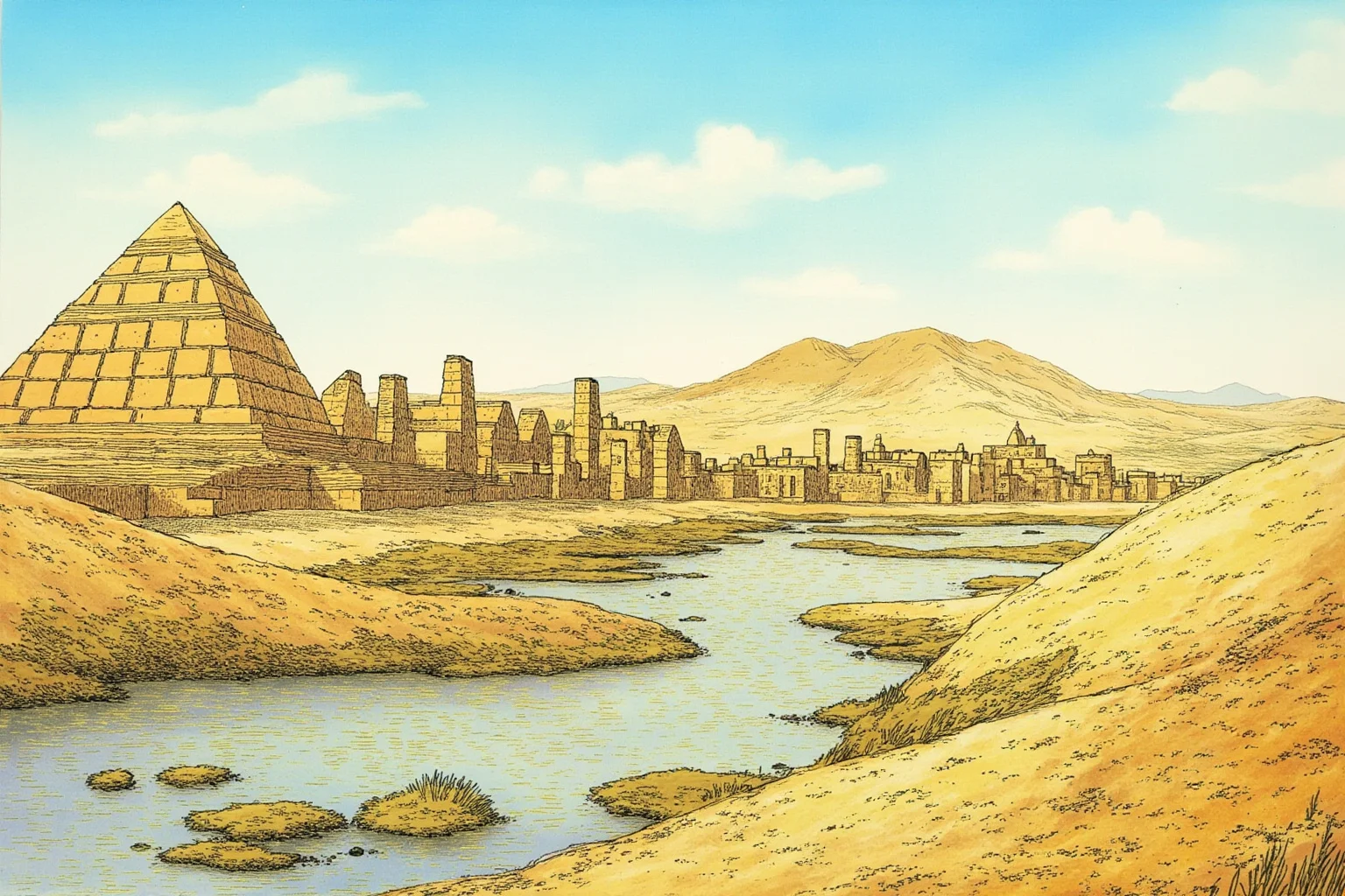
Sumer wasn’t one city but a cluster of independent city-states—Ur, Uruk, Eridu, Lagash, and others—spread across the marshy floodplain between the Tigris and Euphrates. For roughly two thousand years starting around 4500 BCE, Sumerians built the world’s earliest known writing system, cuneiform, alongside monumental temples called ziggurats.
Some archaeologists and historians have proposed that centuries of irrigation gradually raised soil salinity in southern Mesopotamia, reducing crop yields over time. This salinization theory remains debated, but it’s one of several factors, alongside political fragmentation and shifting river channels, thought to have weakened Sumerian city-states before they were absorbed by later empires.
2. The Akkadian Empire
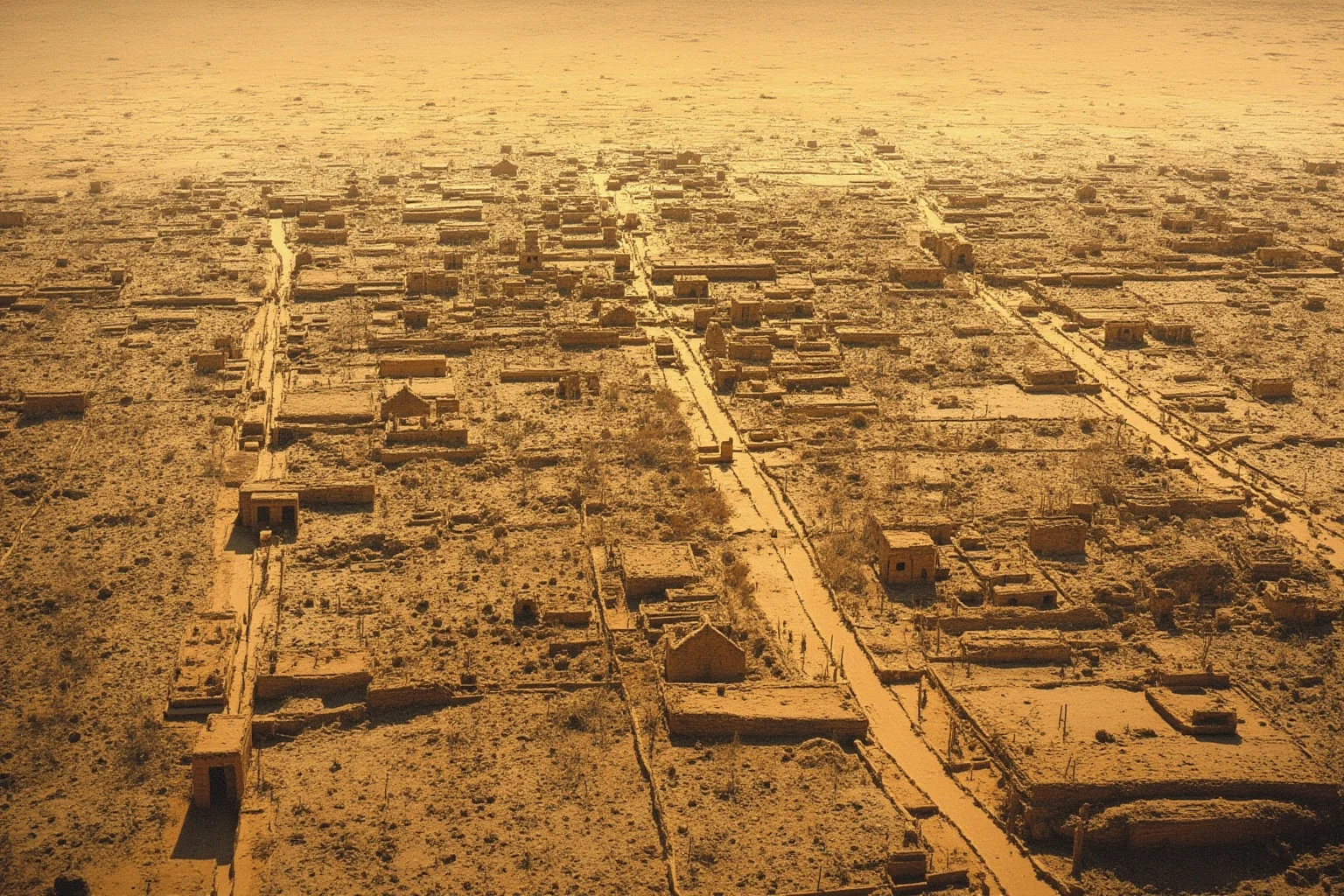
Akkad, founded by Sargon under, unified Mesopotamia’s city-states into what’s often called the world’s first empire, around 2334 BCE. It didn’t last long in historical terms, collapsing within roughly a century and a half.
A widely cited hypothesis, based on sediment core studies from northern Mesopotamia, suggests a sharp, sustained drought around 2200 BCE contributed to Akkad’s downfall by devastating rain-fed agriculture in its northern territories. This climate-collapse theory has influential support but is not universally accepted among historians, who also point to internal rebellion and invasion as contributing factors.
3. The Indus Valley Civilization
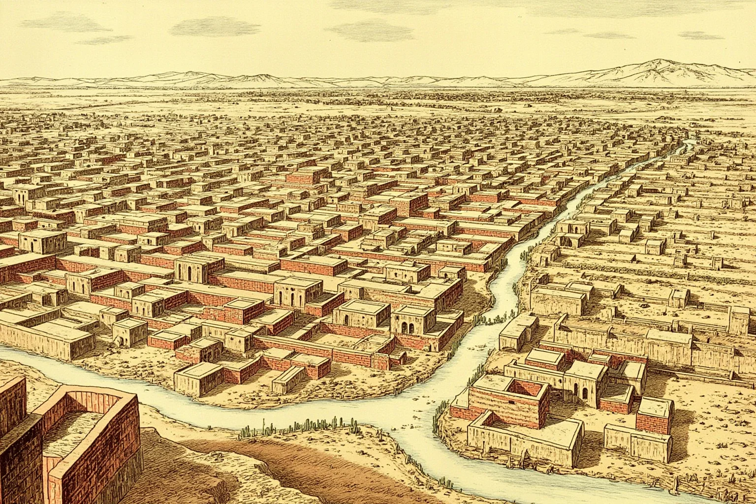
At its height, the Indus Valley Civilization covered a larger area than Egypt and Mesopotamia combined, with meticulously planned cities like Mohenjo-daro featuring covered drains and standardized brick sizes. Its decline, beginning around 1900 BCE, was long blamed on invasion, a theory now considered outdated by most scholars.
Current research points instead toward the weakening or shifting of the Ghaggar-Hakra river system, possibly tied to changing monsoon patterns, which undermined the agriculture that sustained Harappan cities. Many Indus settlements were gradually abandoned rather than violently destroyed, with populations dispersing to smaller rural communities.
4. Ur of the Chaldees
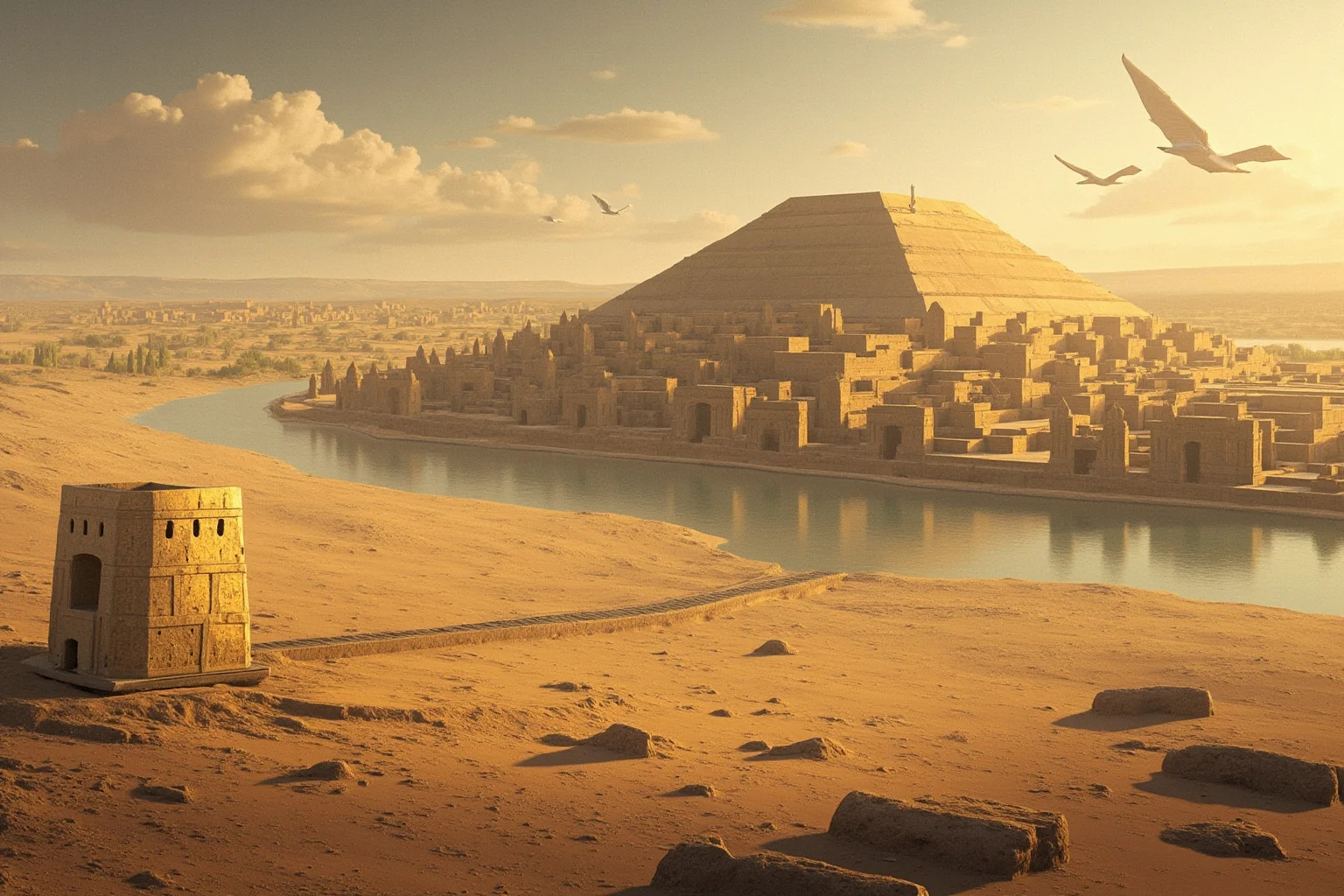
Ur was one of Sumer’s most powerful city-states, and under its Third Dynasty around 2100 BCE it briefly dominated much of Mesopotamia. The biblical figure Abraham is traditionally associated with “Ur of the Chaldees,” though this connection is a matter of religious tradition rather than confirmed history.
Ur’s power collapsed after an Elamite invasion around 2000 BCE, but its physical decline was gradual and tied to the Euphrates itself. Over subsequent centuries, the river slowly shifted its course away from the city, leaving Ur’s ruins stranded in the desert, far from the water that once made it thrive.
5. Babylon’s Shifting Lifeline
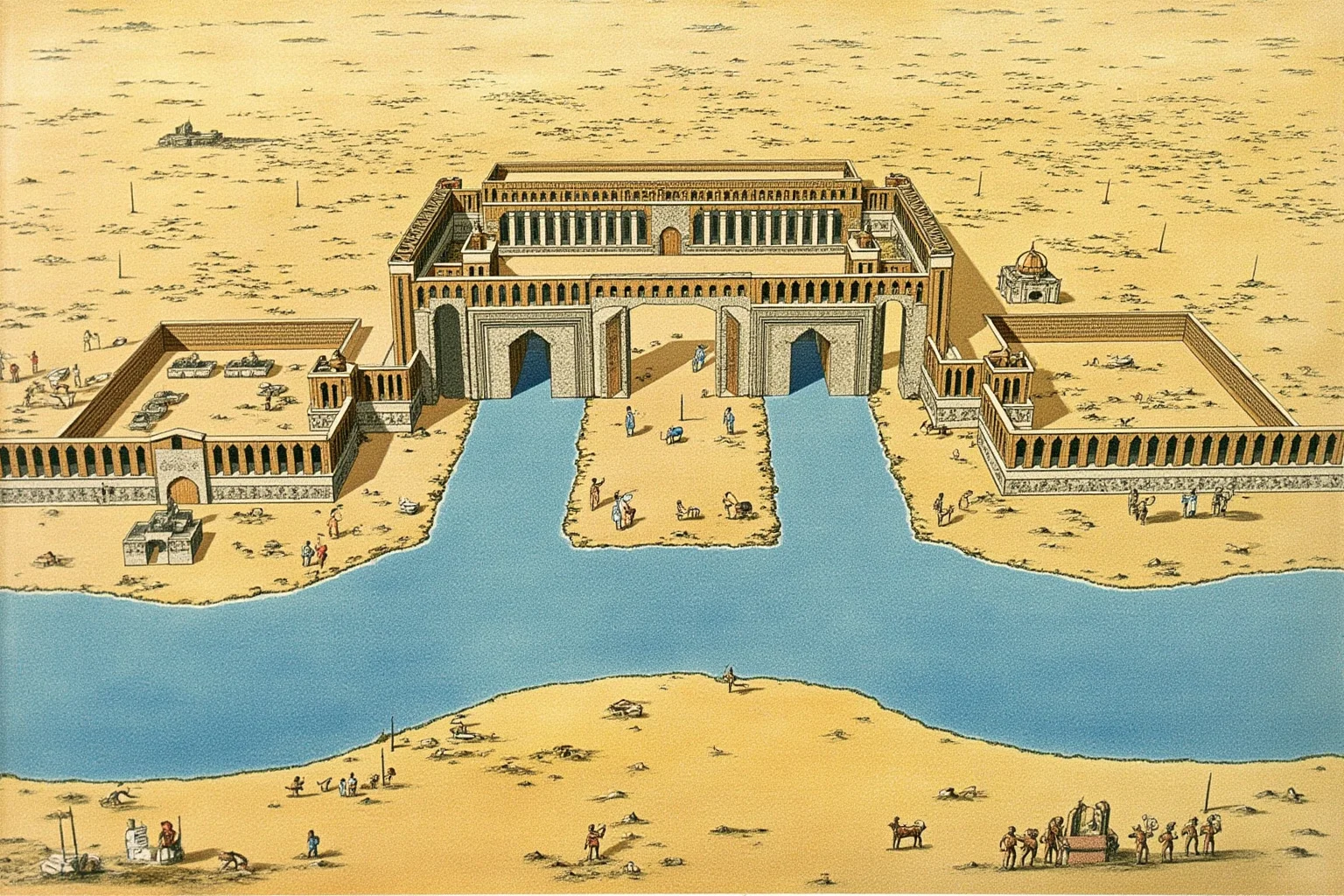
Babylon’s fame rests on its role as a political and cultural capital under rulers like Hammurabi and Nebuchadnezzar II, complete with legendary (and never definitively located) Hanging Gardens. Its position directly on the Euphrates was central to its wealth as a trade and agricultural hub.
Like Ur, Babylon eventually lost its river. Over the centuries following its peak, the Euphrates gradually migrated westward, and combined with repeated conquests, silting canals, and declining trade routes, the city that once ruled Mesopotamia was reduced to ruins well before the modern era.
6. Loulan on the Silk Road
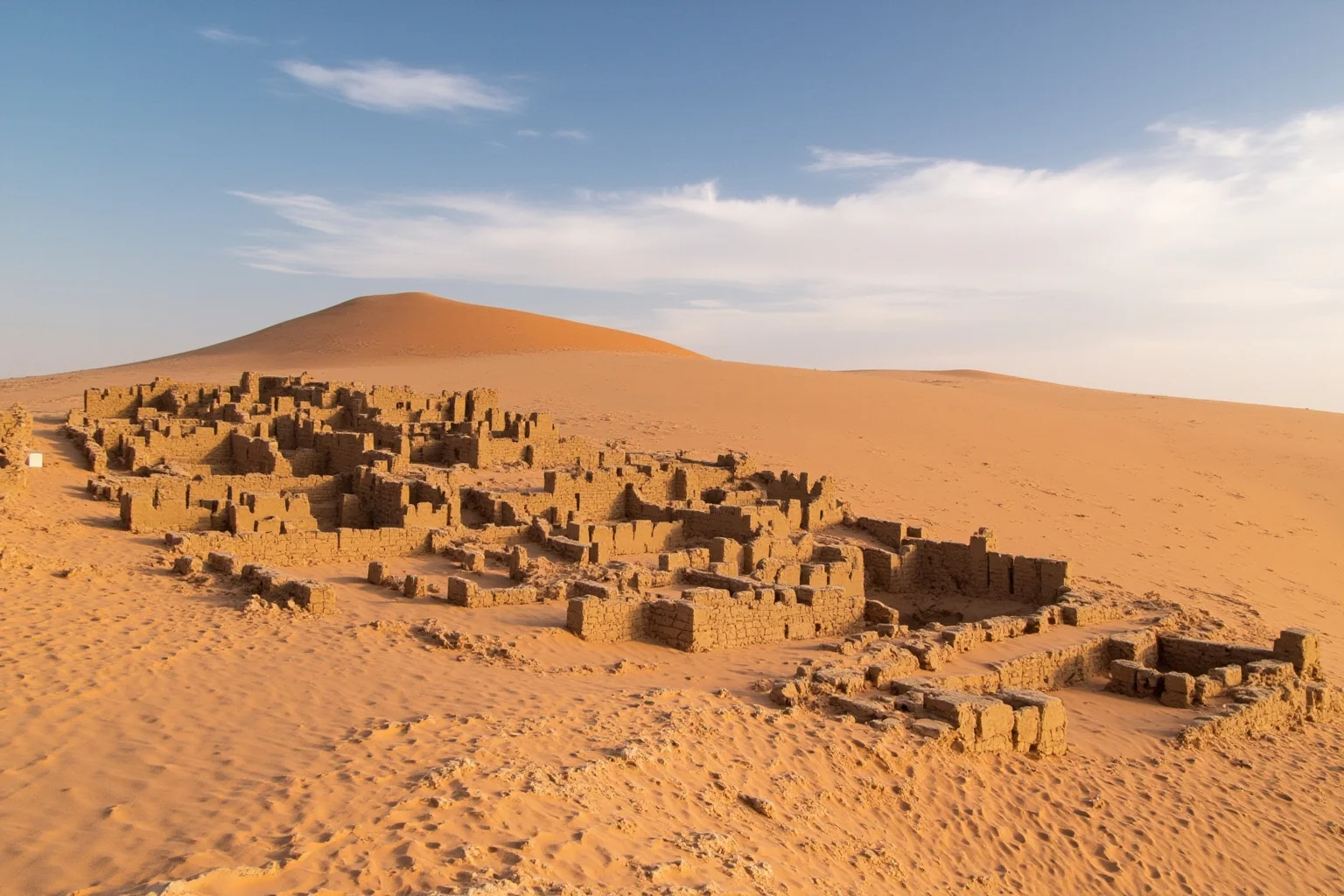
Loulan was a small but strategically vital kingdom in the Tarim Basin of what’s now western China, thriving as a Silk Road waystation reliant on the Tarim River and the now-vanished lake Lop Nur. Travelers and traders depended on Loulan’s oasis for water in one of the world’s driest deserts.
By around the 4th century CE, changes in the Tarim River’s course and the drying of Lop Nur left Loulan without a reliable water source. The city was abandoned and swallowed by the shifting sands of the Taklamakan Desert, where Swedish explorer Sven Hedin rediscovered its ruins in the late 19th century.
7. Niya, the Desert Oasis Kingdom
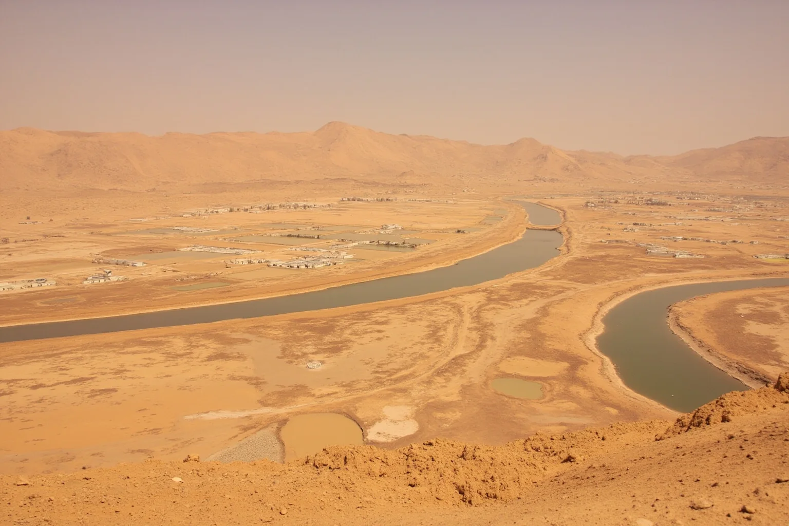
Niya was another Silk Road settlement in the Tarim Basin, part of the ancient kingdom of Kroraina, that depended entirely on meltwater from a seasonal river flowing off the Kunlun Mountains. Wooden tablets found at the site show a sophisticated local administration managing water rights and irrigation.
As with Loulan, environmental change in the region reduced the river’s flow by roughly the 4th or 5th century CE. Niya’s fields and orchards dried out, and the Taklamakan Desert’s sands gradually covered the site until archaeologists began excavating it in the 20th century.
8. Petra and the Nabataeans
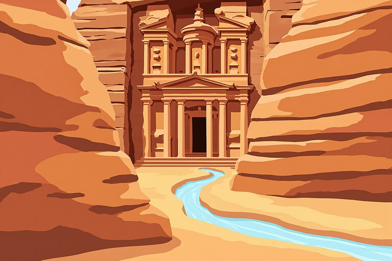
Petra, carved into rose-colored sandstone cliffs in modern Jordan, wasn’t built beside a permanent river but relied on the Nabataeans’ remarkable engineering to capture flash floods from surrounding wadis. Dams, cisterns, and channels let them thrive in an arid landscape and control lucrative incense and spice trade routes.
Petra’s decline followed Rome’s annexation of the Nabataean kingdom in 106 CE, a major earthquake in 363 CE that damaged its water systems, and a gradual shift of trade routes away from the city. Without its carefully engineered water network, the desert reclaimed much of the site until European travelers documented it in the 19th century.
9. Meroë on the Nile
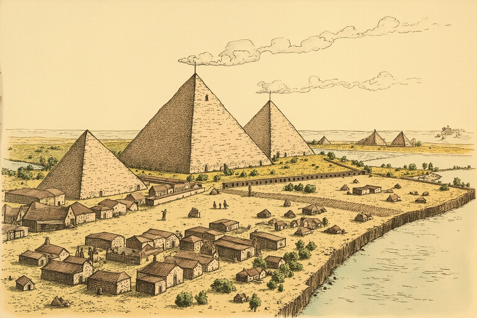
South of Egypt, the Kingdom of Kush built its later capital at Meroë along the Nile in present-day Sudan, flourishing as an iron-working and trading power for centuries. Meroë’s pyramids, smaller but more numerous than Egypt’s, still stand today as evidence of its wealth.
Meroë’s decline around the 4th century CE is linked by historians to several possible factors, including invasion by the neighboring Kingdom of Aksum, disruption of Red Sea trade routes, and environmental degradation from centuries of iron smelting. Its exact end remains a subject of ongoing archaeological research rather than settled fact.
10. The Garamantes of the Sahara
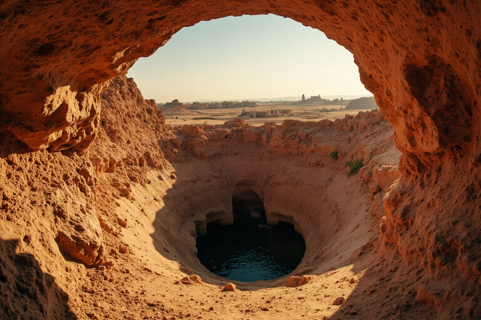
The Garamantes built a genuine desert civilization in what’s now southern Libya, tapping ancient fossil water through an underground tunnel network called foggara to irrigate fields in the Sahara. Roman writers described them as a formidable regional power with fortified towns and long-distance trade links.
Because the Garamantes relied on a non-renewable underground water source rather than a flowing river, their system had a built-in expiration date. As the fossil aquifer depleted between roughly the 4th and 7th centuries CE, their agricultural base collapsed, and their settlements were gradually abandoned to the surrounding dunes.
11. Angkor and the Khmer Empire

Angkor, capital of the Khmer Empire in present-day Cambodia, built one of the most elaborate water management systems in the pre-modern world, with reservoirs, canals, and moats linked to the Tonlé Sap lake and its rivers. This hydraulic network supported a population that researchers estimate may have rivaled some of the largest cities on Earth at the time.
Angkor’s decline through the 14th and 15th centuries appears linked to its own infrastructure’s fragility. Studies of tree-ring data suggest the region experienced severe monsoon variability, alternating between prolonged droughts and intense flooding, which likely overwhelmed a water system that had grown too large and rigid to adapt.
12. Cahokia on the Mississippi
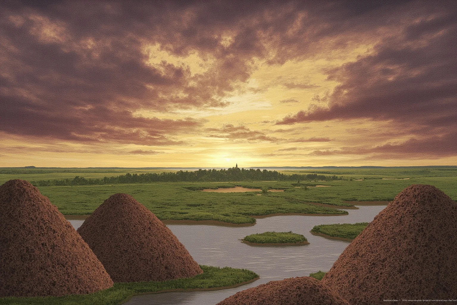
Cahokia, near the confluence of the Mississippi and Missouri rivers in present-day Illinois, was North America’s largest pre-Columbian city north of Mexico, with massive earthen mounds and a population possibly exceeding 10,000 at its peak around 1100 CE. It sat within the broader Mississippian culture, which depended heavily on river-based agriculture and trade.
Cahokia’s decline by the 1300s is still debated among archaeologists, with proposed factors including flooding, deforestation-driven erosion, resource strain, and social or political upheaval. Unlike many sites on this list, Cahokia wasn’t buried by sand, but its mounds were gradually reclaimed by forest and floodplain until modern excavation began.
13. The Hohokam of the Desert Southwest
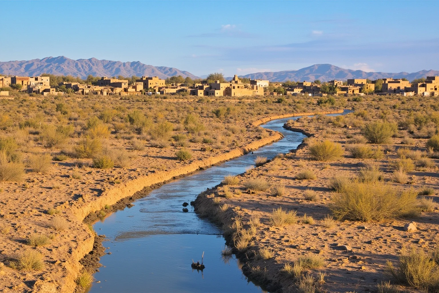
In present-day Arizona, the Hohokam culture built one of ancient North America’s most extensive irrigation networks, with hundreds of miles of canals drawing from the Gila and Salt Rivers. Their engineering supported farming communities in the Sonoran Desert for over a thousand years.
By the 15th century, a combination of severe droughts followed by damaging floods appears to have overwhelmed the canal system’s capacity to adapt. The Hohokam didn’t vanish as a people, since many researchers link them to later Indigenous groups in the region, but their large irrigation-based settlements were abandoned.
14. The Moche Civilization
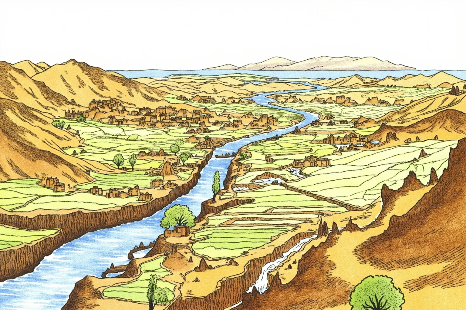
On Peru’s arid northern coast, the Moche civilization built an agricultural and artistic culture around the Moche River valley from roughly 100 to 700 CE, famous for elaborate ceramics and metalwork. Their irrigation canals turned narrow desert valleys into productive farmland.
Research on sediment layers suggests the Moche endured a devastating cycle of prolonged drought followed by catastrophic El Niño flooding, which damaged canals and likely undermined the political authority tied to controlling water. Combined with pressure from the expanding Wari state, Moche society transformed and declined by around the 8th century.
15. Chan Chan and the Chimú Empire
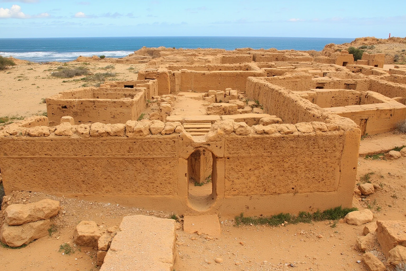
The Chimú Empire rose in the same Moche Valley region after the Moche’s decline, building Chan Chan, one of the largest adobe cities in the pre-Columbian Americas, complete with extensive canal systems drawing from the river. At its height, Chimú controlled a long stretch of Peru’s coastline.
Chan Chan’s canals were vulnerable to the same El Niño flooding cycles that had troubled the Moche, and some evidence suggests water stress weakened the empire before the Inca conquered it in the 1470s. The city was largely abandoned under Inca rule, and wind-blown sand has slowly worn away its intricate adobe friezes ever since.
16. Tiwanaku by Lake Titicaca
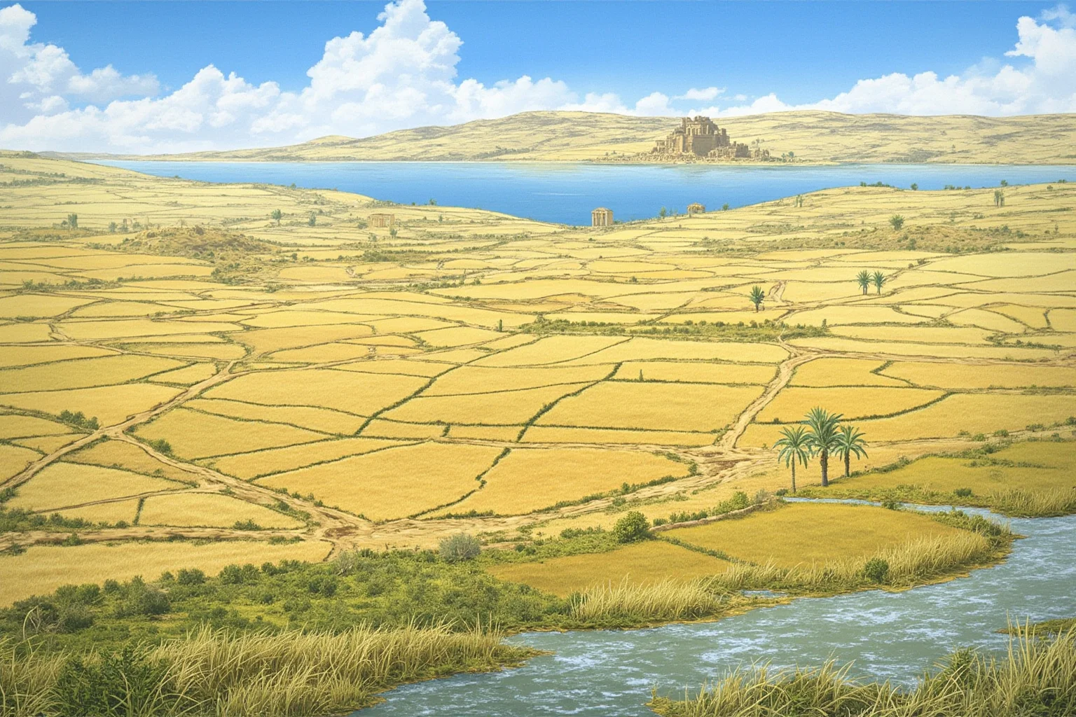
Tiwanaku, near Lake Titicaca on the Peru-Bolivia border, developed sophisticated raised-field agriculture that used the lake’s moderating effect on temperature and nearby waterways to grow crops at extreme high altitude. It became a major religious and political center for the surrounding Andean region.
Sediment core studies suggest a prolonged regional drought around 1000 CE reduced water levels and undermined the raised-field system that Tiwanaku’s food supply depended on. The civilization’s decline followed, though as with many entries here, researchers continue to debate exactly how much weight to give climate versus political factors.
17. The Nazca and Their Underground Aqueducts
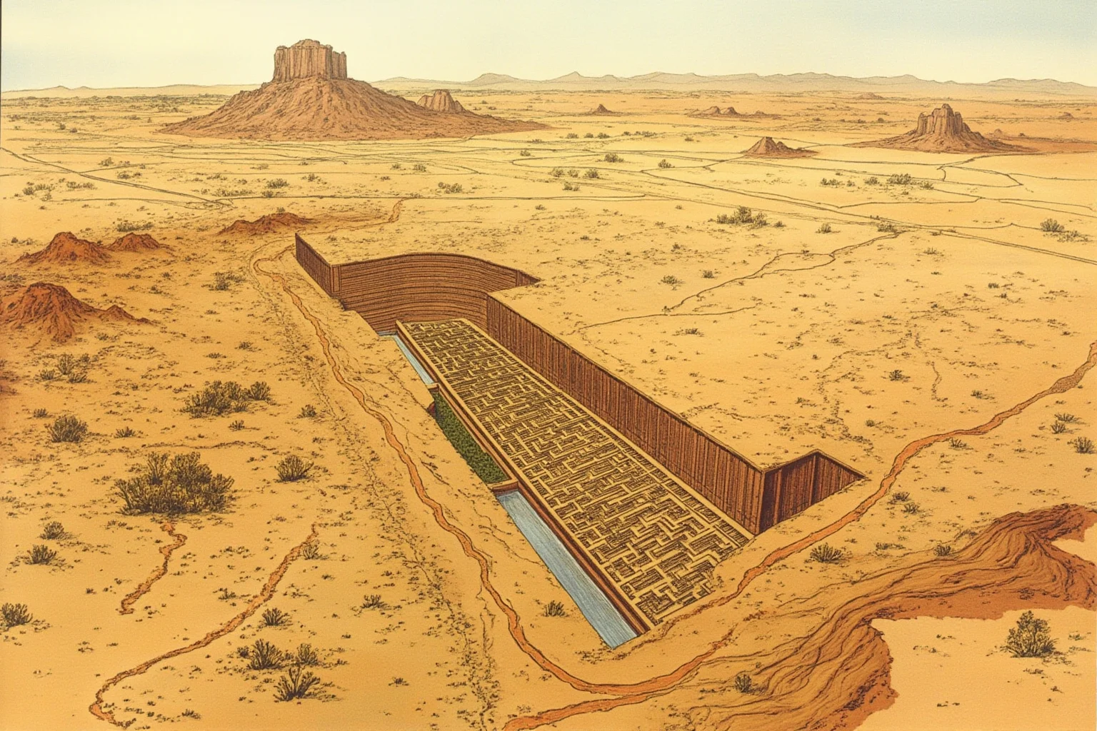
The Nazca civilization, best known today for the enormous Nazca Lines etched into Peru’s desert plateau, also built an ingenious system of underground aqueducts called puquios to tap groundwater in one of the driest places on Earth. This let them farm along the Rio Grande de Nazca watershed for centuries.
Evidence suggests the Nazca contributed to their own environmental stress by clearing huarango trees, which had helped stabilize soil and retain groundwater, leaving the region more vulnerable to drought and flooding. Combined with major El Niño flooding events around 500-750 CE, Nazca society declined significantly, although some puquios remain in use by local farmers today.
18. Elam and the Karun River
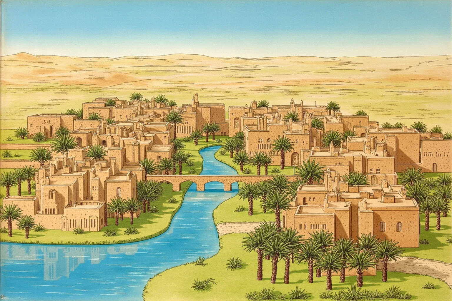
Elam, centered in southwestern Iran along the Karun River near its capital Susa, was a major power contemporaneous with Sumer and Akkad for well over two thousand years. It’s less famous today than its Mesopotamian neighbors but played a significant role in the region’s politics and trade.
Elam’s long history ended gradually rather than in one dramatic collapse, as it was progressively absorbed into the growing Persian Empire by the 6th century BCE. Susa itself continued to be inhabited afterward, but Elam as an independent river-based civilization faded from the historical record.
19. Uruk, One of the World’s First Cities
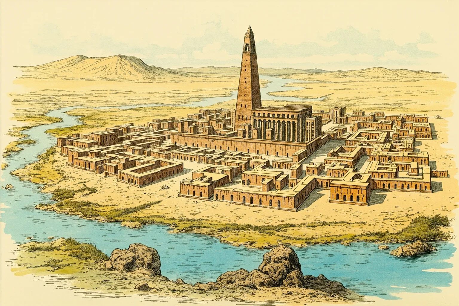
Uruk, on the Euphrates in southern Mesopotamia, is considered by many historians and archaeologists to be among the earliest true cities in the world, reaching a population that may have exceeded 40,000 people around 2900 BCE. It’s also the setting associated with the legendary king Gilgamesh, hero of one of humanity’s oldest surviving works of literature.
Like Ur and Babylon, Uruk’s fortunes were tied to the Euphrates, and as the river’s channels shifted over the following centuries, the city’s importance gradually faded. Uruk was still occupied on a smaller scale for a remarkably long time, but it never regained the influence it held during its Bronze Age peak.
20. The Bronze Age Oxus Civilization
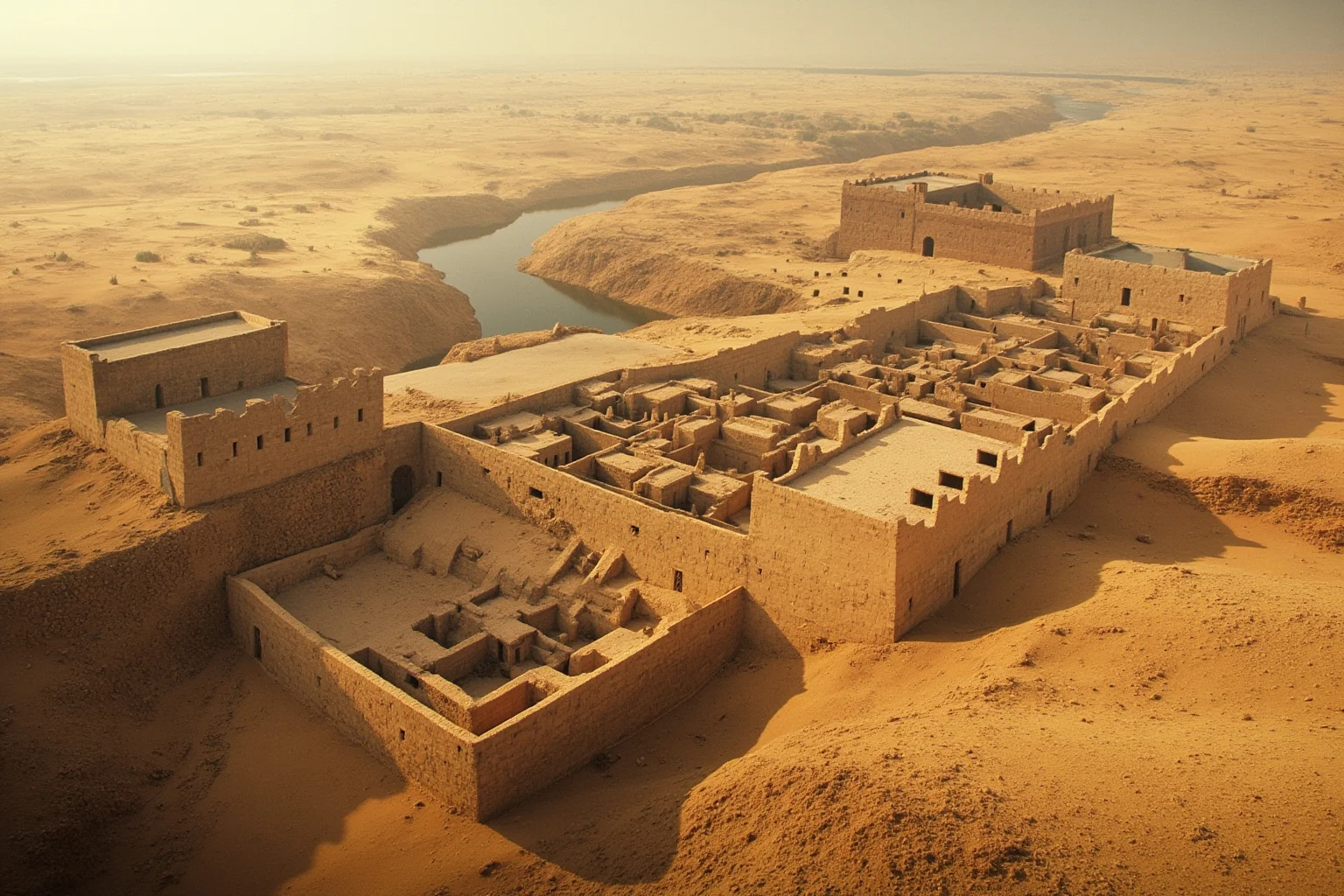
In Central Asia, along the Amu Darya (known to the ancient Greeks as the Oxus River) and the Murghab River, a lesser-known Bronze Age culture sometimes called the Bactria-Margiana Archaeological Complex built fortified settlements with sophisticated irrigation between roughly 2300 and 1700 BCE. Excavations have revealed elaborate metalwork and evidence of trade links stretching toward Mesopotamia and the Indus Valley.
The civilization’s decline is thought to be connected to shifting river channels and increasing aridity in the region, though because it’s a comparatively recent archaeological discovery, much about its collapse remains under active study. Its settlements were eventually abandoned to the desert, and it stayed largely unknown until 20th-century excavations brought it to light.
What These Vanished River Civilizations Teach Us
Taken together, these 20 stories push back against a tidy, single-cause narrative of civilizational collapse. Most of these societies didn’t disappear overnight in dramatic fashion, and few fell for just one reason.
Instead, rivers changed course over generations, droughts stretched on longer than any single ruler’s lifetime, and irrigation systems that worked brilliantly for centuries eventually became too rigid to handle new extremes. In several cases, like Cahokia and the Hohokam, descendant communities and cultural traditions carried on even as the great urban centers themselves were abandoned.
The deeper lesson isn’t really about ancient history at all. Water security, adaptable infrastructure, and the risk of over-relying on a single environmental system are challenges that plenty of modern regions still wrestle with today.
Rivers built civilization as we know it, but they never promised permanence. Understanding how and why these ancient societies rose and eventually receded gives us a clearer, more honest picture of just how closely human history has always been tied to water.
Frequently Asked Questions
Why did ancient civilizations develop near rivers?
Ancient civilizations developed near rivers because rivers provided reliable fresh water for drinking and irrigation, deposited fertile silt that boosted farming yields, and served as natural transportation routes for trade. Managing seasonal floods and irrigation also encouraged early organization, record-keeping, and governance, which helped small farming villages grow into complex cities.
Name four important river civilizations of the ancient world.
The four most commonly cited river civilizations are Mesopotamia (Tigris-Euphrates rivers), Ancient Egypt (Nile River), the Indus Valley Civilization (Indus River), and Ancient China's early dynasties (Yellow River). Each of these societies built large-scale agriculture, cities, and eventually writing systems around their respective river valleys.
What usually caused ancient river civilizations to collapse or vanish?
There's rarely a single cause. Common contributing factors include rivers physically shifting course, prolonged droughts or unpredictable flooding, soil salinization from centuries of irrigation, depleted groundwater, and disruptions to trade combined with political or military pressure. Historians generally treat these collapses as gradual and multi-causal rather than sudden or singular events.
Were Mesopotamia, Egypt, the Indus Valley, and China the only ancient river civilizations?
No, they're simply the most famous. Many other societies, including Elam, the Nabataeans at Petra, the Khmer Empire at Angkor, the Moche and Chimú of Peru, and Cahokia in North America, also developed around rivers or river-fed water systems and are studied extensively by archaeologists and historians.
Did sand literally bury these vanished civilizations?
In some cases, yes, particularly desert sites like Loulan, Niya, and parts of the Sahara where shifting dunes gradually covered abandoned settlements after their water sources dried up. In other cases, like Cahokia or Angkor, the sites were reclaimed by forest, floodplain silt, or jungle rather than sand, so it's more accurate to say the environment reclaimed them rather than sand specifically.

Alex Warren
Related Articles